Medium airport · Kenya

Kiwayu AirportKWY

-1.9606°, 41.2975°
21 ft
Elevation

Runway & Layout

Kiwayu Airport runway & taxiway layout
Runway & taxiway layout — OpenStreetMap (ODbL) / OurAirports

Airport Specifications
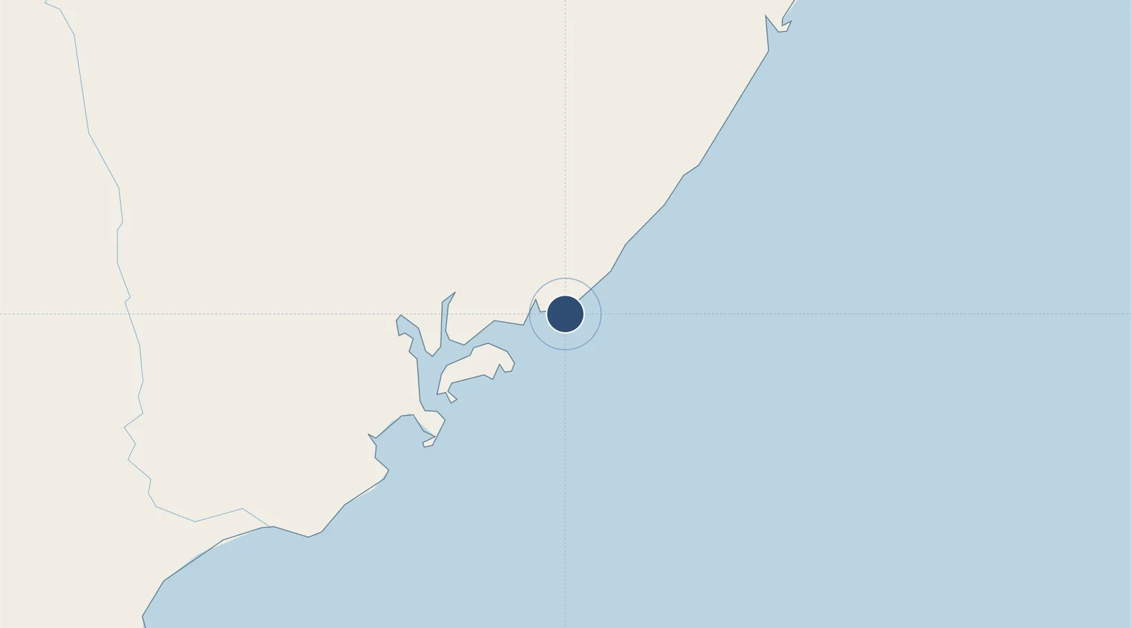
IATA code
KWY
OurAirports
Airport class
Medium airport
OurAirports
Scheduled service
No
OurAirports
Served city
Kiwayu
OurAirports

Location

Location of KWY
Natural Earth 10m (public domain) · Coast · KWY · -1.96, 41.30GoogleOSMYandex

Nearby Logistics Neighbours

Airports
  1. 1Manda Airport54 km
  2. 2Malindi International Airport194 km
  3. 3Kismayo Airport218 km
  4. 4Moi International Airport298 km
  5. 5Pemba Airport402 km
Nearest neighbours — logibook spatial index (haversine) over the source coordinates
Cities
  1. 1Kismayu223 km
  2. 2Mombasa296 km
  3. 3Shimoni367 km
  4. 4Mwingi377 km
  5. 5Tanga422 km
Nearest neighbours — logibook spatial index (haversine) over the source coordinates
Ports
  1. 1Lamu56 km
  2. 2Malindi190 km
  3. 3Kismaayo225 km
  4. 4Kilifi245 km
  5. 5Mombasa296 km
Nearest neighbours — logibook spatial index (haversine) over the source coordinates
Trade Zones
  1. 1Lamu Port Special Economic Zone50 km
  2. 2Mombasa Special Economic Zone278 km
  3. 3Kipevu Public Export Processing Zone295 km
  4. 4Dongo Kundu Special Economic Zone297 km
  5. 5Dundani Industrial Park330 km
Nearest neighbours — logibook spatial index (haversine) over the source coordinates
DatabookThe Record of Consolidated Knowledge
Kenya beyond logistics?
Browse databook

All Sources

AirportsOurAirports
Public domain
Portsthe NGA World Port Index
Public domain (US gov)
LocationsUN/LOCODE
UN/LOCODE — free
Trade Zonesthe World Bank SEZ database
CC BY 4.0
Trade ZonesOpen Zone Map
CC BY
InfrastructureOpenStreetMap
ODbL 1.0
← Kenya airports