Runway & Layout

Airport Specifications
Airport class
Small airport
Scheduled service
Yes
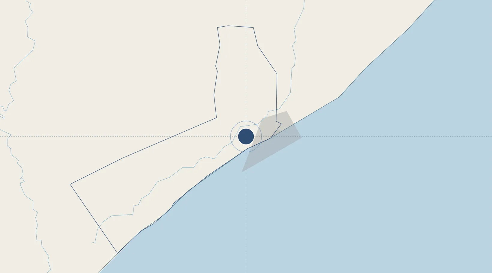
Served city
Mogadishu
Location
Nearby Logistics Neighbours
Airports
- 1Aden Adde International Airport35 km
- 2Beledweyne Airport308 km
- 3Kismayo Airport386 km
- 4Shilavo Airport454 km
- 5Gode Airport464 km
Trade Zones
DatabookThe Record of Consolidated Knowledge
Somalia beyond logistics?