Seaport · Somalia
MuqdishoSOMGQ
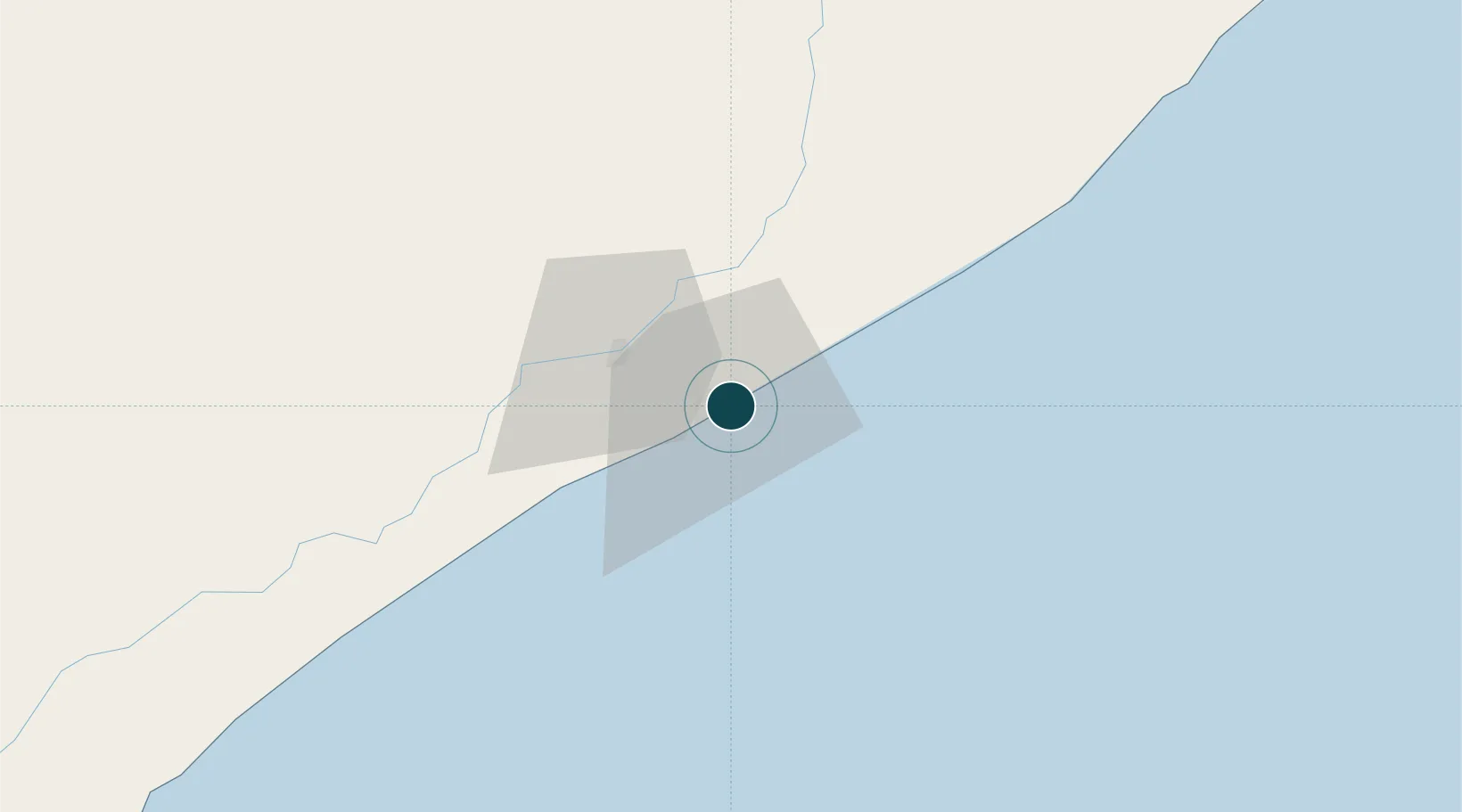
2.0333°, 45.3500°
11.0 m
Channel depth
1
Container terminals
47.2
Port liner connectivity
Channel & Berth Profile
Pilotage, Tugs & Services
Pilotage compulsoryYES
Pilotage availableYES
Tug assistanceYES
Salvage tugsYES
Shore powerYES
Potable waterYES
Diesel bunkersNO
MedicalYES
Facilities & Capabilities
Container—
Ro-Ro—
Liquid bulk—
Dry bulk—
Oil terminal—
Break bulk—
Dry dock—
Repairs—
BunkeringYES
Rail link—
Dangerous cargo—
ISPS security—
Harbour Specifications
Harbour size
Large
Harbour type
Coastal (Breakwater)
Shelter
Fair
Water body
Indian Ocean
Tidal range
3 m
Pilotage
Yes
Liner Connectivity
47.2
PLSCI
Port Liner Shipping Connectivity Index for Muqdisho, as published by UNCTAD for the latest available quarter. Higher values indicate stronger scheduled liner-shipping integration.
Shown relative to the highest per-port PLSCI in the dataset (1,657.9).
Location
Container Terminals · 1
MOGADISHU ALPORT TERMINAL
MAP ALBAYRAK
Nearby Logistics Neighbours
Airports
- 1Aden Adde International Airport6 km
- 2K50 Airstrip41 km
- 3Beledweyne Airport304 km
- 4Kismayo Airport419 km
- 5Shilavo Airport454 km
Trade Zones
DatabookThe Record of Consolidated Knowledge
Somalia beyond logistics?