UN/LOCODE hub · Kenya
KEMBA

Mombasa

-4.0329°, 39.6286°
1,208,333
Population
3
Transport functions

Transport Functions

Port
Airport
Postal
Mombasa is also a profiled seaport →
UN/LOCODE

Hub Profile

Place type
Regional capital
GeoNames
Region
Mombasa County
GeoNames
Population
1,208,333
GeoNames
Time zone
Africa/Nairobi
GeoNames
Elevation
20 m
GeoNames
Logistics facilities
71
UN/LOCODE

Location

Location of KEMBA
Natural Earth 10m (public domain) · Mombasa County · KEMBA · -4.03, 39.63GoogleOSMYandex

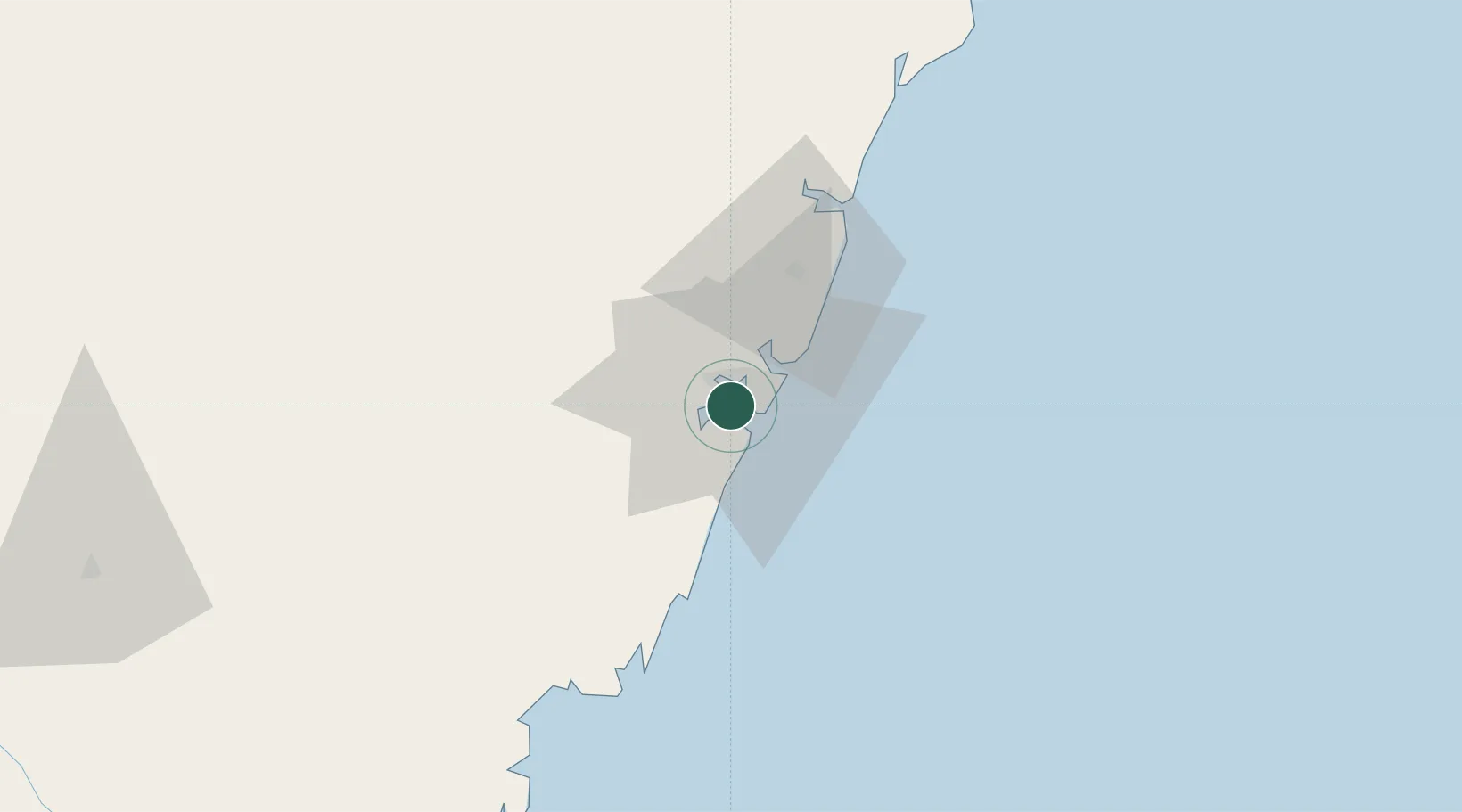
Nearby Logistics Neighbours

Cities
  1. 1Shimoni74 km
  2. 2Tanga129 km
  3. 3Zanzibar241 km
  4. 4Moshi266 km
  5. 5Kibaha314 km
Nearest neighbours — logibook spatial index (haversine) over the source coordinates
Ports
  1. 1Kilifi52 km
  2. 2Malindi107 km
  3. 3Tanga130 km
  4. 4Lamu242 km
  5. 5Zanzibar242 km
Nearest neighbours — logibook spatial index (haversine) over the source coordinates
Airports
  1. 1Moi International Airport4 km
  2. 2Malindi International Airport104 km
  3. 3Tanga Airport133 km
  4. 4Pemba Airport138 km
  5. 5Manda Airport244 km
Nearest neighbours — logibook spatial index (haversine) over the source coordinates
Trade Zones
  1. 1Kipevu Public Export Processing Zone2 km
  2. 2Dongo Kundu Special Economic Zone8 km
  3. 3Mombasa Special Economic Zone18 km
  4. 4Dundani Industrial Park44 km
  5. 5Mkinga Special Economic Zone112 km
Nearest neighbours — logibook spatial index (haversine) over the source coordinates
DatabookThe Record of Consolidated Knowledge
Kenya beyond logistics?
Browse databook

All Sources

LocationsUN/LOCODE
UN/LOCODE — free
LocationsGeoNames
CC BY 4.0
Portsthe NGA World Port Index
Public domain (US gov)
AirportsOurAirports
Public domain
Trade Zonesthe World Bank SEZ database
CC BY 4.0
Trade ZonesOpen Zone Map
CC BY
← Kenya locations