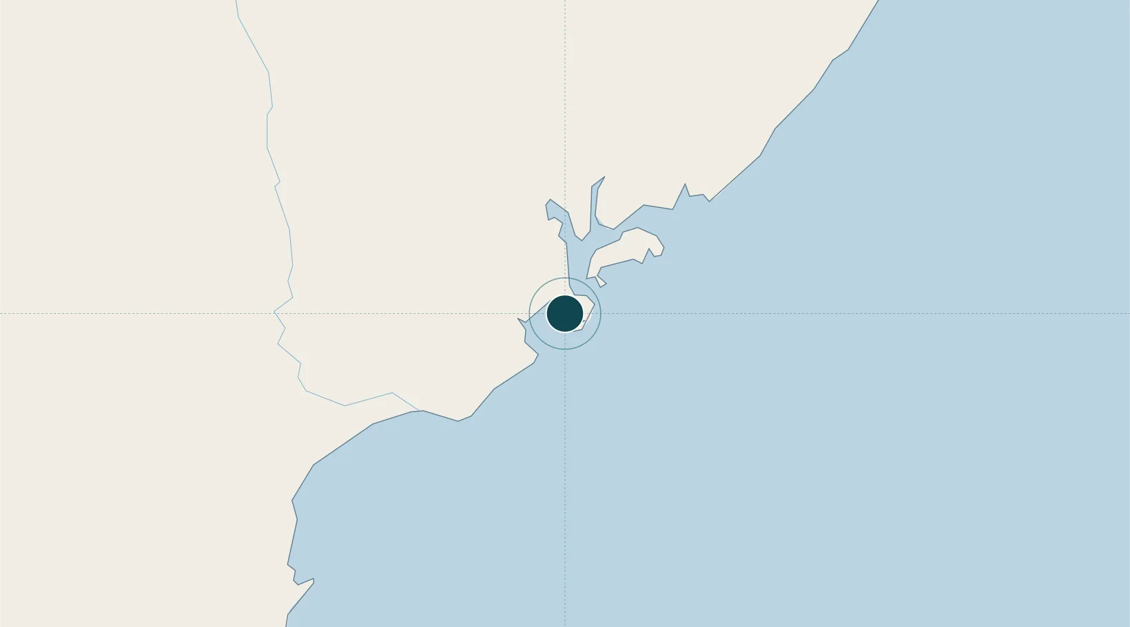
Seaport · Kenya

LamuKELAU

-2.2667°, 40.9000°
4.9 m
Channel depth
1
Container terminals
54.9
Port liner connectivity

Channel & Berth Profile

SEA LEVEL (CD)CHANNEL BEDChannel · 4.9 mAnchorage · 4.9 mCargo pier · 4.9 m
NGA World Port Index

Pilotage, Tugs & Services

Pilotage compulsoryYES
Potable waterYES
MedicalYES
NGA World Port Index

Facilities & Capabilities

Container
Ro-Ro
Liquid bulk
Dry bulk
Oil terminal
Break bulk
Dry dock
Repairs
Bunkering
Rail link
Dangerous cargo
ISPS security
NGA World Port Index

Harbour Specifications

Harbour size
Small
NGA World Port Index
Harbour type
Coastal (Natural)
NGA World Port Index
Shelter
Fair
NGA World Port Index
Water body
Indian Ocean
NGA World Port Index
Tidal range
3 m
NGA World Port Index
Overhead limit
No
NGA World Port Index
Pilotage
Yes
NGA World Port Index

Liner Connectivity

54.9
PLSCI

Port Liner Shipping Connectivity Index for Lamu, as published by UNCTAD for the latest available quarter. Higher values indicate stronger scheduled liner-shipping integration.

Shown relative to the highest per-port PLSCI in the dataset (1,657.9).

UNCTAD · Port Liner Shipping Connectivity Index

Location

Location of KELAU
Natural Earth 10m (public domain) · Coast · KELAU · -2.27, 40.90GoogleOSMYandex

Container Terminals · 1

PORT OF LAMU CONTAINER TERMINAL
LCT KENYA PORTS AUTHORITY
SMDG Terminal Code List

Nearby Logistics Neighbours

Ports
  1. 1Malindi136 km
  2. 2Kilifi190 km
  3. 3Mombasa243 km
  4. 4Kismaayo280 km
  5. 5Tanga371 km
Nearest neighbours — logibook spatial index (haversine) over the source coordinates
Cities
  1. 1Mombasa242 km
  2. 2Kismayu278 km
  3. 3Shimoni314 km
  4. 4Mwingi348 km
  5. 5Tanga370 km
Nearest neighbours — logibook spatial index (haversine) over the source coordinates
Airports
  1. 1Manda Airport2 km
  2. 2Kiwayu Airport56 km
  3. 3Malindi International Airport139 km
  4. 4Moi International Airport244 km
  5. 5Kismayo Airport272 km
Nearest neighbours — logibook spatial index (haversine) over the source coordinates
Trade Zones
  1. 1Lamu Port Special Economic Zone8 km
  2. 2Mombasa Special Economic Zone224 km
  3. 3Kipevu Public Export Processing Zone241 km
  4. 4Dongo Kundu Special Economic Zone243 km
  5. 5Dundani Industrial Park275 km
Nearest neighbours — logibook spatial index (haversine) over the source coordinates
DatabookThe Record of Consolidated Knowledge
Kenya beyond logistics?
Browse databook

All Sources

Portsthe NGA World Port Index
Public domain (US gov)
Logistics performanceUNCTAD
CC BY 3.0 IGO
Portsthe SMDG Terminal Code List
UN/LOCODE — free, attribution
AirportsOurAirports
Public domain
LocationsUN/LOCODE
UN/LOCODE — free
Trade Zonesthe World Bank SEZ database
CC BY 4.0
Trade ZonesOpen Zone Map
CC BY
← Kenya ports