Channel & Berth Profile
Pilotage, Tugs & Services
Diesel bunkersYES
MedicalYES
Facilities & Capabilities
Container—
Ro-Ro—
Liquid bulk—
Dry bulk—
Oil terminal—
Break bulk—
Dry dock—
Repairs—
BunkeringYES
Rail link—
Dangerous cargo—
ISPS security—
Harbour Specifications
Harbour size
Small
Harbour type
Coastal (Natural)
Shelter
Fair
Water body
Indian Ocean
Tidal range
1 m
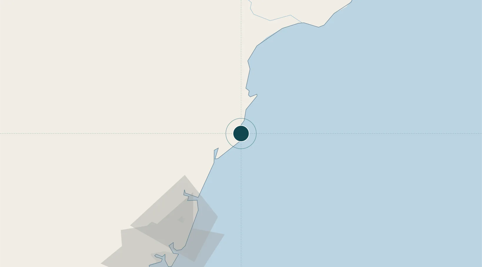
Location
Nearby Logistics Neighbours
Airports
- 1Malindi International Airport4 km
- 2Moi International Airport109 km
- 3Manda Airport138 km
- 4Kiwayu Airport190 km
- 5Pemba Airport230 km
Trade Zones
DatabookThe Record of Consolidated Knowledge
Kenya beyond logistics?