Transport Functions
Port
Road
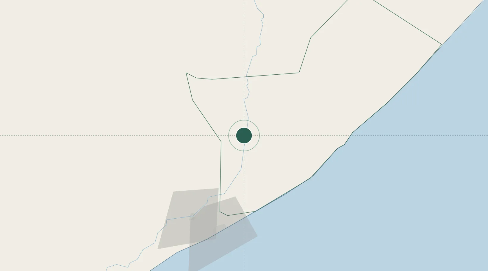
Location
Nearby Logistics Neighbours
Airports
- 1Aden Adde International Airport87 km
- 2K50 Airstrip103 km
- 3Beledweyne Airport225 km
- 4Shilavo Airport378 km
- 5Gode Airport413 km
Trade Zones
DatabookThe Record of Consolidated Knowledge
Somalia beyond logistics?