UN/LOCODE hub · Somalia
SOMGQ
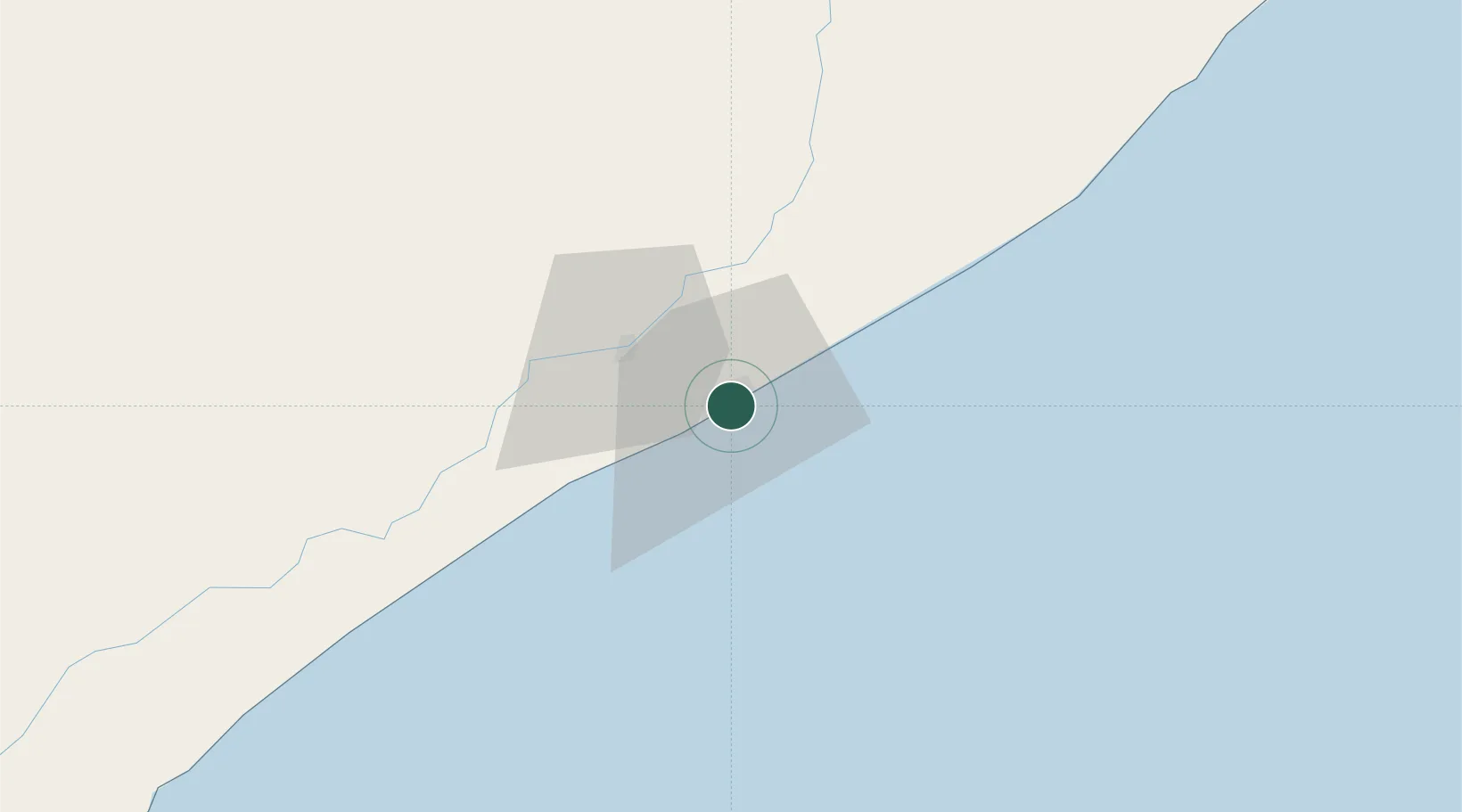
Mogadishu
2.0246°, 45.3344°
2,587,183
Population
3
Transport functions
1
Container terminals
Transport Functions
Port
Airport
Postal
Hub Profile
Place type
National capital
Region
Banaadir
Population
2,587,183
Time zone
Africa/Mogadishu
Elevation
12 m
Logistics facilities
2
Container terminals
1
Location
Nearby Logistics Neighbours
Airports
- 1Aden Adde International Airport4 km
- 2K50 Airstrip39 km
- 3Beledweyne Airport305 km
- 4Kismayo Airport417 km
- 5Shilavo Airport455 km
Trade Zones
DatabookThe Record of Consolidated Knowledge
Somalia beyond logistics?