Channel & Berth Profile
Pilotage, Tugs & Services
Pilotage compulsoryYES
Pilotage availableYES
Pilotage advisableYES
Shore powerYES
Potable waterYES
MedicalYES
Facilities & Capabilities
Container—
Ro-Ro—
Liquid bulk—
Dry bulk—
Oil terminal—
Break bulk—
Dry dock—
RepairsNO
Bunkering—
Rail linkYES
Dangerous cargo—
ISPS security—
Harbour Specifications
Harbour size
Small
Harbour type
River (Natural)
Shelter
Good
Water body
North Atlantic Ocean
Tidal range
1 m
Overhead limit
Yes
Pilotage
Yes
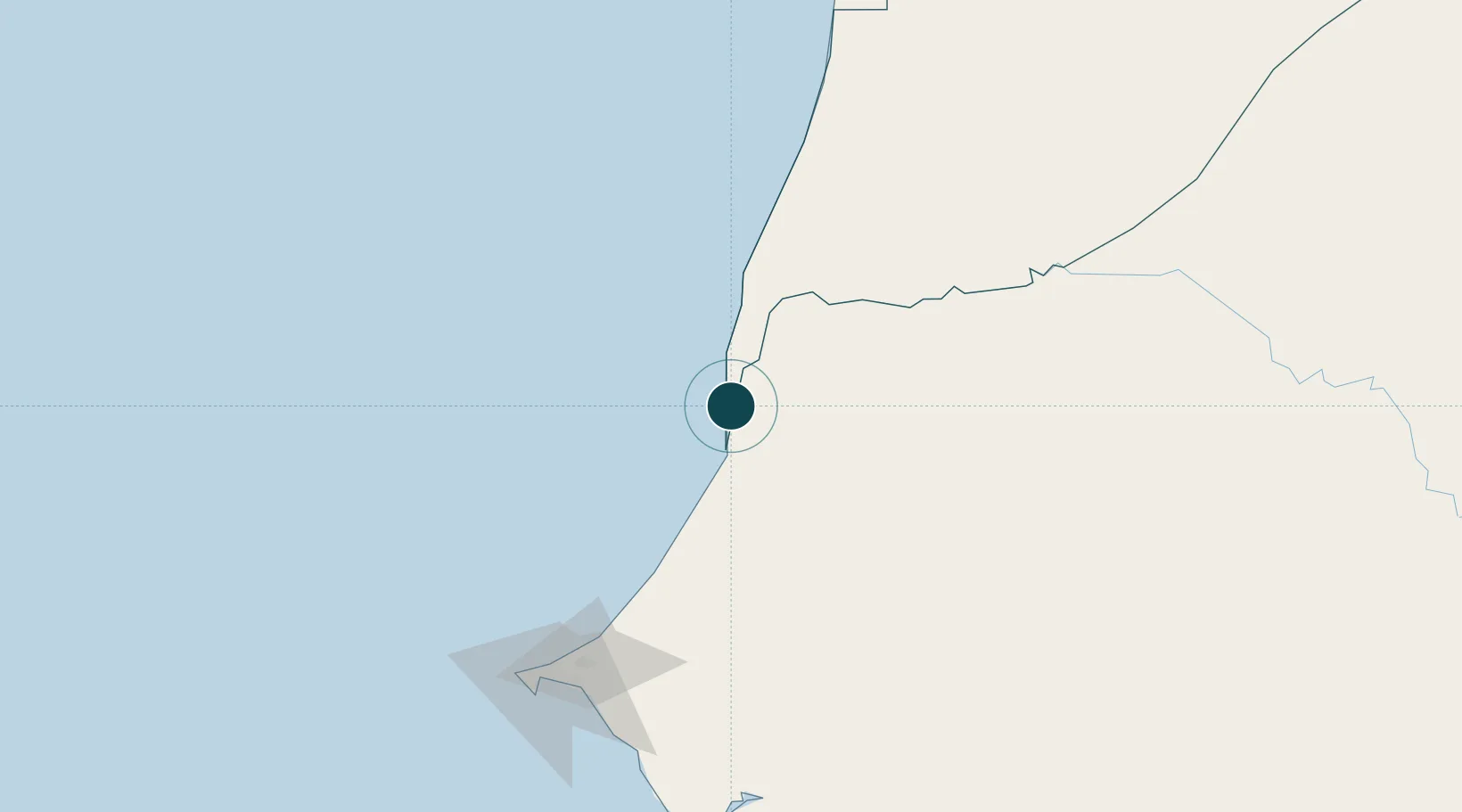
Location
Nearby Logistics Neighbours
Ports
- 1Rufisque168 km
- 2M Bao Oil Terminal173 km
- 3Dakar178 km
- 4Lyndiane209 km
- 5Nouakchott230 km
Airports
Trade Zones
DatabookThe Record of Consolidated Knowledge
Senegal beyond logistics?