Seaport · Senegal
DakarSNDKR
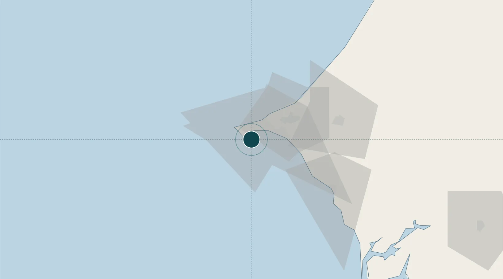
14.6833°, -17.4333°
11.0 m
Channel depth
1
Container terminals
146.8
Port liner connectivity
Channel & Berth Profile
Pilotage, Tugs & Services
Pilotage compulsoryYES
Pilotage availableYES
Pilotage advisableYES
Tug assistanceYES
Salvage tugsYES
Shore powerYES
Potable waterYES
Diesel bunkersYES
MedicalYES
Garbage disposalYES
Facilities & Capabilities
Container—
Ro-Ro—
Liquid bulk—
Dry bulk—
Oil terminal—
Break bulk—
Dry dockNO
RepairsNO
BunkeringYES
Rail linkYES
Dangerous cargo—
ISPS security—
Harbour Specifications
Harbour size
Medium
Harbour type
Coastal (Breakwater)
Shelter
Good
Water body
North Atlantic Ocean
Tidal range
2 m
Pilotage
Yes
Liner Connectivity
146.8
PLSCI
Port Liner Shipping Connectivity Index for Dakar, as published by UNCTAD for the latest available quarter. Higher values indicate stronger scheduled liner-shipping integration.
Shown relative to the highest per-port PLSCI in the dataset (1,657.9).
Location
Container Terminals · 1
DP WORLD DAKAR
DPWSN DP WORLD
Nearby Logistics Neighbours
Ports
- 1M Bao Oil Terminal5 km
- 2Rufisque16 km
- 3Lyndiane148 km
- 4Banjul166 km
- 5St Louis178 km
Cities
- 1Thiès55 km
- 2Sukuta163 km
- 3Banjul165 km
- 4Sanyang174 km
- 5Saint Louis180 km
Airports
DatabookThe Record of Consolidated Knowledge
Senegal beyond logistics?