Transport Functions
Port
Airport
Hub Profile
Place type
Regional capital
Region
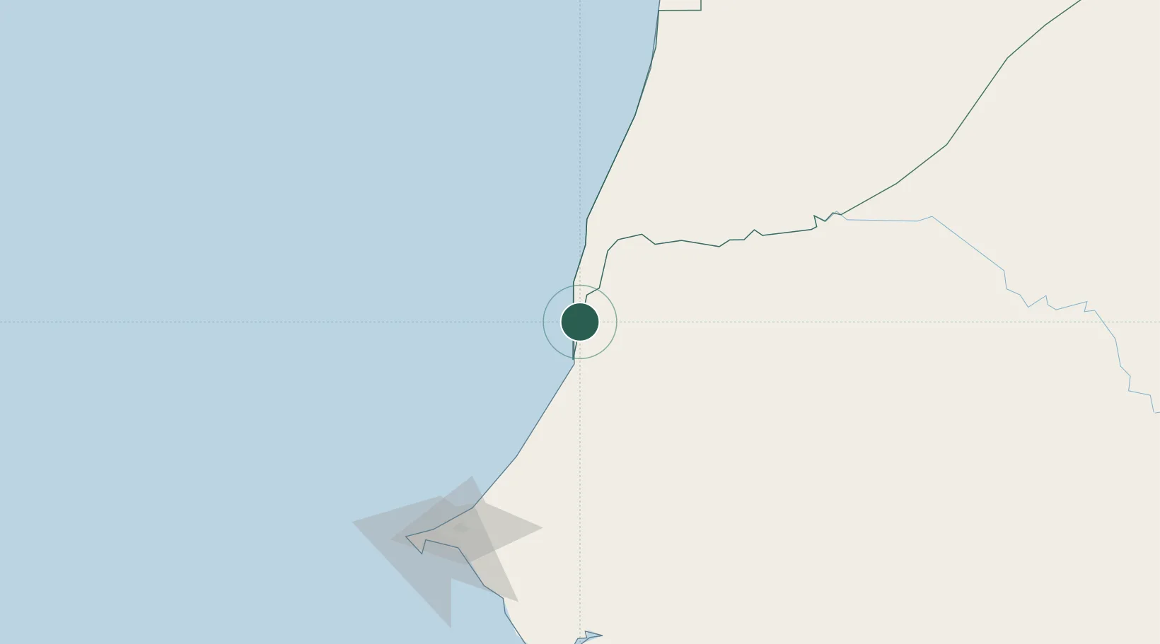
Saint-Louis
Population
254,171
Time zone
Africa/Dakar
Elevation
8 m
Location
Nearby Logistics Neighbours
Ports
- 1Rufisque170 km
- 2M Bao Oil Terminal175 km
- 3Dakar180 km
- 4Lyndiane211 km
- 5Nouakchott228 km
Airports
Trade Zones
DatabookThe Record of Consolidated Knowledge
Senegal beyond logistics?