Large airport · Senegal

Blaise Diagne International AirportGOBD
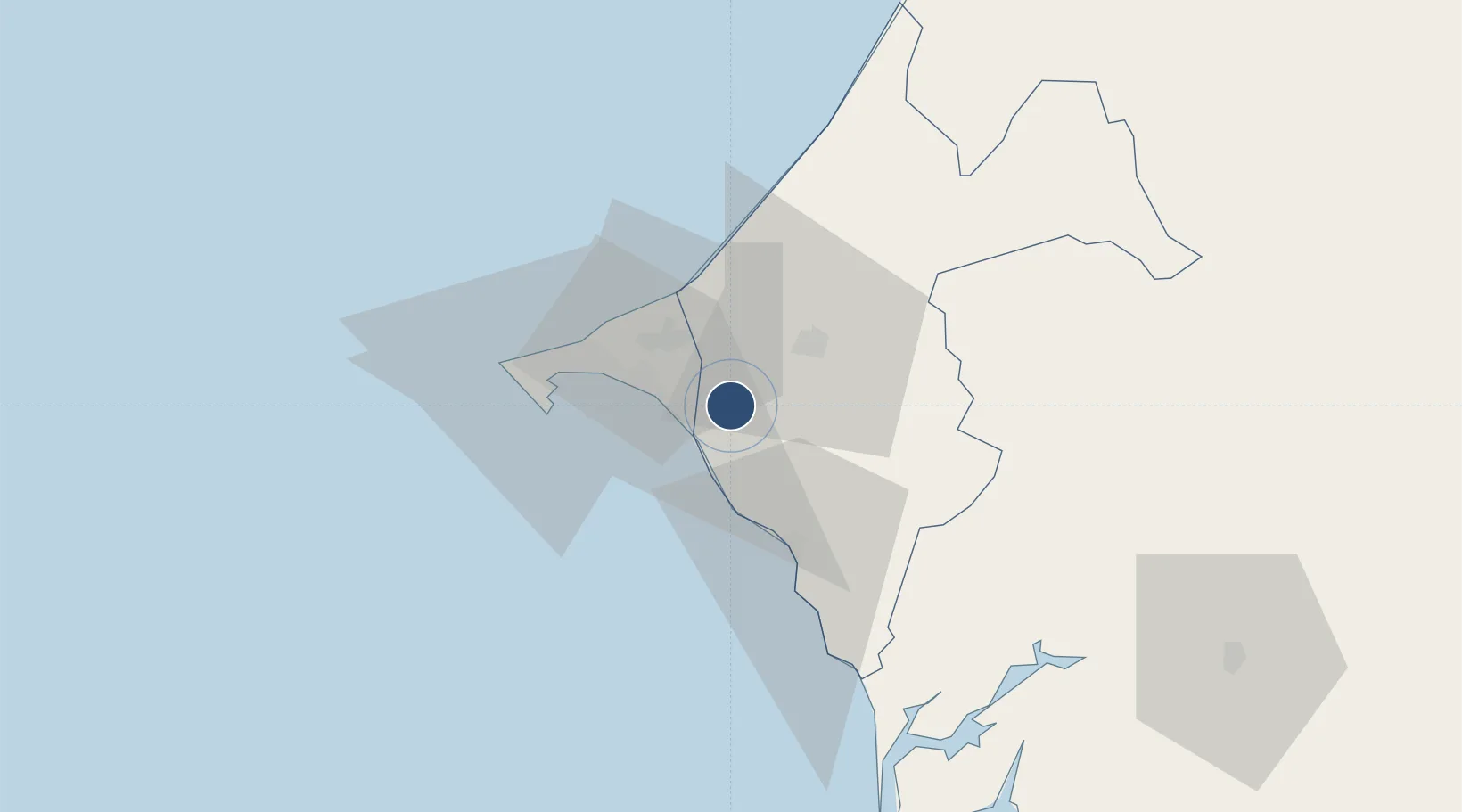
14.6709°, -17.0728°
11,483 ft
Longest runway
1
Runways
290 ft
Elevation

Runway & Layout

Blaise Diagne International Airport runway & taxiway layout
Runway & taxiway layout — OpenStreetMap (ODbL) / OurAirports

Radio Frequencies

ATIS
126.2 MHz
ATIS EN
ATIS
126.6 MHz
ATIS FR
TWR
118.8 MHz
ARR
120.5 MHz
OurAirports

Runways · 1

RunwayDimensions SurfaceTrue headingLit
01/19 11,483 × 197ft Asphalt 359°
OurAirports

Airport Specifications

IATA code
DSS
OurAirports
ICAO code
GOBD
OurAirports
Airport class
Large airport
OurAirports
Scheduled service
Yes
OurAirports
Runway surface
Asphalt
OurAirports
Served city
Dakar
OurAirports

Location

Location of GOBD
Natural Earth 10m (public domain) · Thiès · GOBD · 14.67, -17.07GoogleOSMYandex

Nearby Logistics Neighbours

Airports
  1. 1Léopold Sédar Senghor International Airport44 km
  2. 2Kaolack Airport125 km
  3. 3Banjul International Airport155 km
  4. 4Saint Louis Airport167 km
  5. 5Ziguinchor Airport250 km
Nearest neighbours — logibook spatial index (haversine) over the source coordinates
Cities
  1. 1Thiès21 km
  2. 2Dakar37 km
  3. 3Banjul146 km
  4. 4Sukuta147 km
  5. 5Sanyang160 km
Nearest neighbours — logibook spatial index (haversine) over the source coordinates
Ports
  1. 1Rufisque23 km
  2. 2M Bao Oil Terminal36 km
  3. 3Dakar39 km
  4. 4Lyndiane113 km
  5. 5Banjul146 km
Nearest neighbours — logibook spatial index (haversine) over the source coordinates
Trade Zones
  1. 1Dakar Integrated Special Economic Zone2 km
  2. 2Ndayane Port Special Economic Zone14 km
  3. 3Diamniadio Special Economic Zone18 km
  4. 4Dakar Industrial Free Trade Zone30 km
  5. 5Sandiara Special Economic Zone39 km
Nearest neighbours — logibook spatial index (haversine) over the source coordinates
DatabookThe Record of Consolidated Knowledge
Senegal beyond logistics?
Browse databook

All Sources

AirportsOurAirports
Public domain
Portsthe NGA World Port Index
Public domain (US gov)
LocationsUN/LOCODE
UN/LOCODE — free
Trade Zonesthe World Bank SEZ database
CC BY 4.0
Trade ZonesOpen Zone Map
CC BY
InfrastructureOpenStreetMap
ODbL 1.0
← Senegal airports