Specialized Zone · Senegal

Diamniadio Special Economic Zone Active
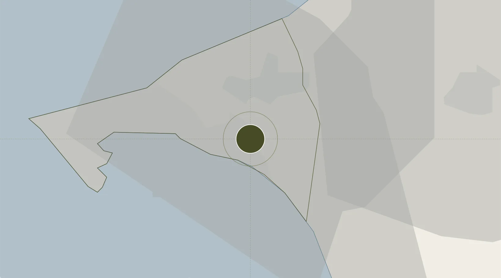
14.7286°, -17.2262°
25 ha
Zone area
6.9 km
Nearest port
17.7 km
Nearest airport

Gateway access

Nearest neighbours — logibook spatial index (haversine) over the source coordinates

Zone profile

Zone type
Specialized Zone
Open Zone Map
Specialization
Textiles
Open Zone Map
Region
Dakar
Open Zone Map
Status
Active
Open Zone Map
Management
Private
Open Zone Map
Operator
C&H Garments
Open Zone Map
Legal framework
Decree No. 2017-2189 of November 22nd, 2017; 2017-06 Special Economic Zones (ZES) Act
Open Zone Map

Location

Location of ozm-4111
Natural Earth 10m (public domain) · Dakar · ozm-4111 · 14.73, -17.23GoogleOSMYandex

Nearby Logistics Neighbours

Ports
  1. 1Rufisque7 km
  2. 2M Bao Oil Terminal19 km
  3. 3Dakar23 km
  4. 4Lyndiane130 km
  5. 5Banjul159 km
Nearest neighbours — logibook spatial index (haversine) over the source coordinates
Airports
  1. 1Blaise Diagne International Airport18 km
  2. 2Léopold Sédar Senghor International Airport27 km
  3. 3Kaolack Airport142 km
  4. 4Banjul International Airport167 km
  5. 5Saint Louis Airport168 km
Nearest neighbours — logibook spatial index (haversine) over the source coordinates
Cities
  1. 1Dakar20 km
  2. 2Thiès33 km
  3. 3Sukuta158 km
  4. 4Banjul158 km
  5. 5Saint Louis165 km
Nearest neighbours — logibook spatial index (haversine) over the source coordinates
Trade Zones
  1. 1Dakar Industrial Free Trade Zone13 km
  2. 2Dakar Integrated Special Economic Zone16 km
  3. 3Ndayane Port Special Economic Zone23 km
  4. 4Sandiara Special Economic Zone56 km
  5. 5July 22 Business Park164 km
Nearest neighbours — logibook spatial index (haversine) over the source coordinates
DatabookThe Record of Consolidated Knowledge
Senegal beyond logistics?
Browse databook

All Sources

Trade ZonesOpen Zone Map
CC BY
Portsthe NGA World Port Index
Public domain (US gov)
AirportsOurAirports
Public domain
LocationsUN/LOCODE
UN/LOCODE — free
← Senegal trade zones