Seaport · Senegal

RufisqueSNRQ2

14.7000°, -17.2833°
4.9 m
Channel depth

Channel & Berth Profile

SEA LEVEL (CD)CHANNEL BEDCargo pier · 1.8 mChannel · 4.9 mAnchorage · 4.9 m
NGA World Port Index

Pilotage, Tugs & Services

Potable waterNO
Diesel bunkersNO
MedicalYES
NGA World Port Index

Facilities & Capabilities

Container
Ro-Ro
Liquid bulk
Dry bulk
Oil terminal
Break bulk
Dry dockNO
Repairs
BunkeringNO
Rail linkYES
Dangerous cargo
ISPS security
NGA World Port Index

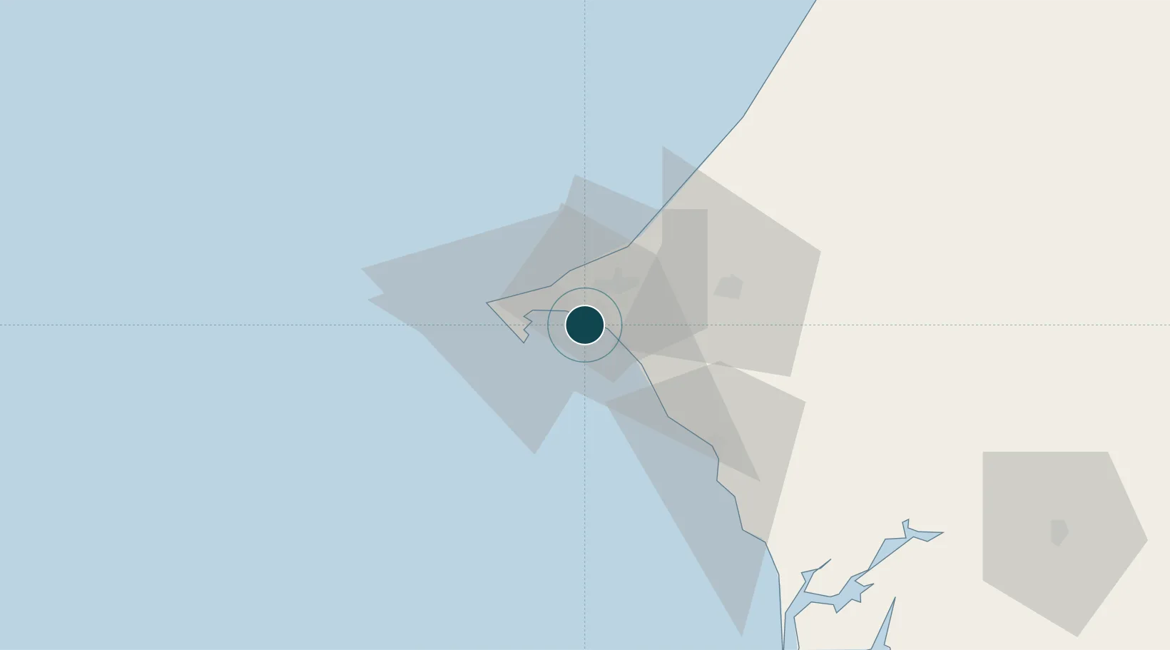
Harbour Specifications

Harbour size
Very Small
NGA World Port Index
Harbour type
Open Roadstead
NGA World Port Index
Shelter
Fair
NGA World Port Index
Water body
North Atlantic Ocean
NGA World Port Index

Location

Location of SNRQ2
Natural Earth 10m (public domain) · Dakar · SNRQ2 · 14.70, -17.28GoogleOSMYandex

Nearby Logistics Neighbours

Ports
  1. 1M Bao Oil Terminal13 km
  2. 2Dakar16 km
  3. 3Lyndiane134 km
  4. 4Banjul159 km
  5. 5St Louis168 km
Nearest neighbours — logibook spatial index (haversine) over the source coordinates
Cities
  1. 1Dakar14 km
  2. 2Thiès39 km
  3. 3Sukuta158 km
  4. 4Banjul158 km
  5. 5Sanyang169 km
Nearest neighbours — logibook spatial index (haversine) over the source coordinates
Airports
  1. 1Léopold Sédar Senghor International Airport22 km
  2. 2Blaise Diagne International Airport23 km
  3. 3Kaolack Airport146 km
  4. 4Banjul International Airport166 km
  5. 5Saint Louis Airport174 km
Nearest neighbours — logibook spatial index (haversine) over the source coordinates
Trade Zones
  1. 1Diamniadio Special Economic Zone7 km
  2. 2Dakar Industrial Free Trade Zone8 km
  3. 3Dakar Integrated Special Economic Zone21 km
  4. 4Ndayane Port Special Economic Zone25 km
  5. 5Sandiara Special Economic Zone59 km
Nearest neighbours — logibook spatial index (haversine) over the source coordinates
DatabookThe Record of Consolidated Knowledge
Senegal beyond logistics?
Browse databook

All Sources

Portsthe NGA World Port Index
Public domain (US gov)
AirportsOurAirports
Public domain
LocationsUN/LOCODE
UN/LOCODE — free
Trade Zonesthe World Bank SEZ database
CC BY 4.0
Trade ZonesOpen Zone Map
CC BY
← Senegal ports