Dakar Integrated Special Economic Zone · Senegal

Dakar Integrated Special Economic Zone Under Development
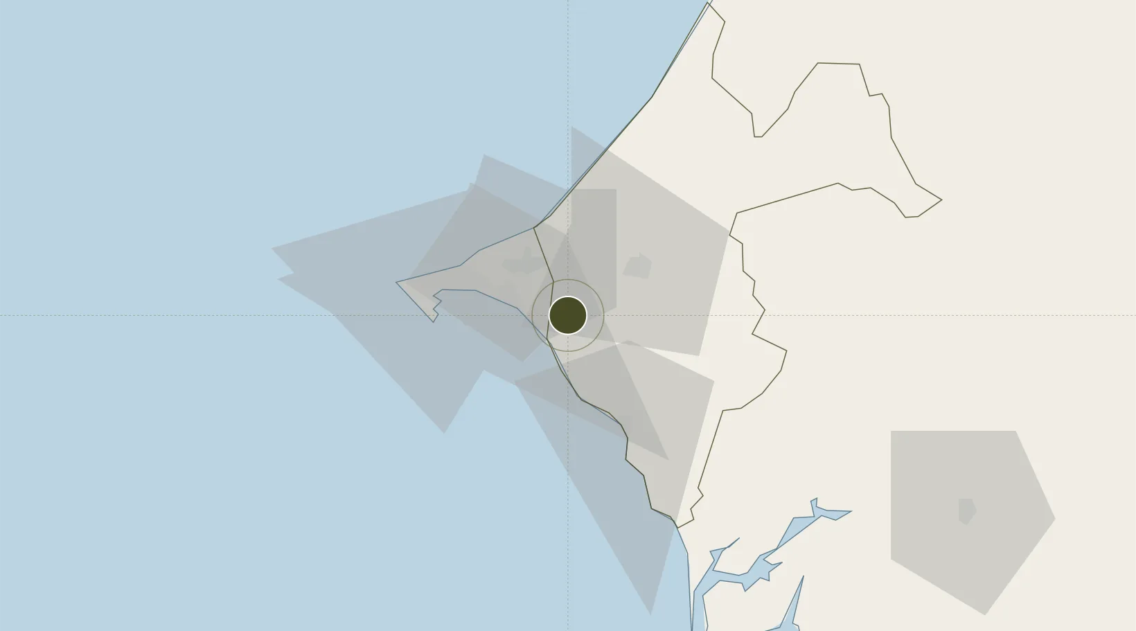
14.6718°, -17.0936°
718 ha
Zone area
20.6 km
Nearest port
2.2 km
Nearest airport

Gateway access

Nearest neighbours — logibook spatial index (haversine) over the source coordinates

Zone profile

Zone type
Dakar Integrated Special Economic Zone
the World Bank SEZ database
Region
Thiès
the World Bank SEZ database
Status
Under Development
the World Bank SEZ database
Established
In development
the World Bank SEZ database
Management
PPP
the World Bank SEZ database
Operator
Government of Senegal and Economic Zones World (UAE)
the World Bank SEZ database
Regulatory authority
Investment Promotion and Major Projects Agency (APIX)
the World Bank SEZ database
Legal framework
Law No 2007-16 on the creation of the Dakar Integrated Special Economic Zone
the World Bank SEZ database

Location

Location of SEN1
Natural Earth 10m (public domain) · Thiès · SEN1 · 14.67, -17.09GoogleOSMYandex

Fiscal & incentives

Corporate tax
30%
the World Bank SEZ database
Tax relief
100% exempt
the World Bank SEZ database
Relief duration
Perpetual
the World Bank SEZ database
VAT
No exemption
the World Bank SEZ database
Import duty (inputs)
100% exempt
the World Bank SEZ database
Import duty (capex)
100% exempt
the World Bank SEZ database
Profit repatriation
No exemption
the World Bank SEZ database
Capital gains
No exemption
the World Bank SEZ database
Withholding tax
No exemption
the World Bank SEZ database
Min. investment
None
the World Bank SEZ database
Min. export
0%
the World Bank SEZ database
Employment incentive
No exemption
the World Bank SEZ database
Developer incentive
No established framework
the World Bank SEZ database

Nearby Logistics Neighbours

Ports
  1. 1Rufisque21 km
  2. 2M Bao Oil Terminal33 km
  3. 3Dakar37 km
  4. 4Lyndiane115 km
  5. 5Banjul147 km
Nearest neighbours — logibook spatial index (haversine) over the source coordinates
Airports
  1. 1Blaise Diagne International Airport2 km
  2. 2Léopold Sédar Senghor International Airport42 km
  3. 3Kaolack Airport127 km
  4. 4Banjul International Airport156 km
  5. 5Saint Louis Airport168 km
Nearest neighbours — logibook spatial index (haversine) over the source coordinates
Cities
  1. 1Thiès22 km
  2. 2Dakar34 km
  3. 3Banjul147 km
  4. 4Sukuta148 km
  5. 5Sanyang161 km
Nearest neighbours — logibook spatial index (haversine) over the source coordinates
Trade Zones
  1. 1Ndayane Port Special Economic Zone13 km
  2. 2Diamniadio Special Economic Zone16 km
  3. 3Dakar Industrial Free Trade Zone28 km
  4. 4Sandiara Special Economic Zone40 km
  5. 5July 22 Business Park153 km
Nearest neighbours — logibook spatial index (haversine) over the source coordinates
DatabookThe Record of Consolidated Knowledge
Senegal beyond logistics?
Browse databook

All Sources

Trade Zonesthe World Bank SEZ database
CC BY 4.0
Portsthe NGA World Port Index
Public domain (US gov)
AirportsOurAirports
Public domain
LocationsUN/LOCODE
UN/LOCODE — free
← Senegal trade zones