Export Processing Zone · Senegal

Ndayane Port Special Economic Zone Active

14.5532°, -17.1104°
300 ha
Zone area
24.8 km
Nearest port
13.7 km
Nearest airport

Gateway access

Nearest neighbours — logibook spatial index (haversine) over the source coordinates

Zone profile

Zone type
Export Processing Zone
Open Zone Map
Region
Thiès
Open Zone Map
Status
Active
Open Zone Map
Management
Private
Open Zone Map
Operator
DP World
Open Zone Map
Legal framework
Decree No. 2017-2189 of November 22nd, 2017; 2017-06 Special Economic Zones (ZES) Act
Open Zone Map

Location

Location of ozm-4110
Natural Earth 10m (public domain) · Thiès · ozm-4110 · 14.55, -17.11GoogleOSMYandex

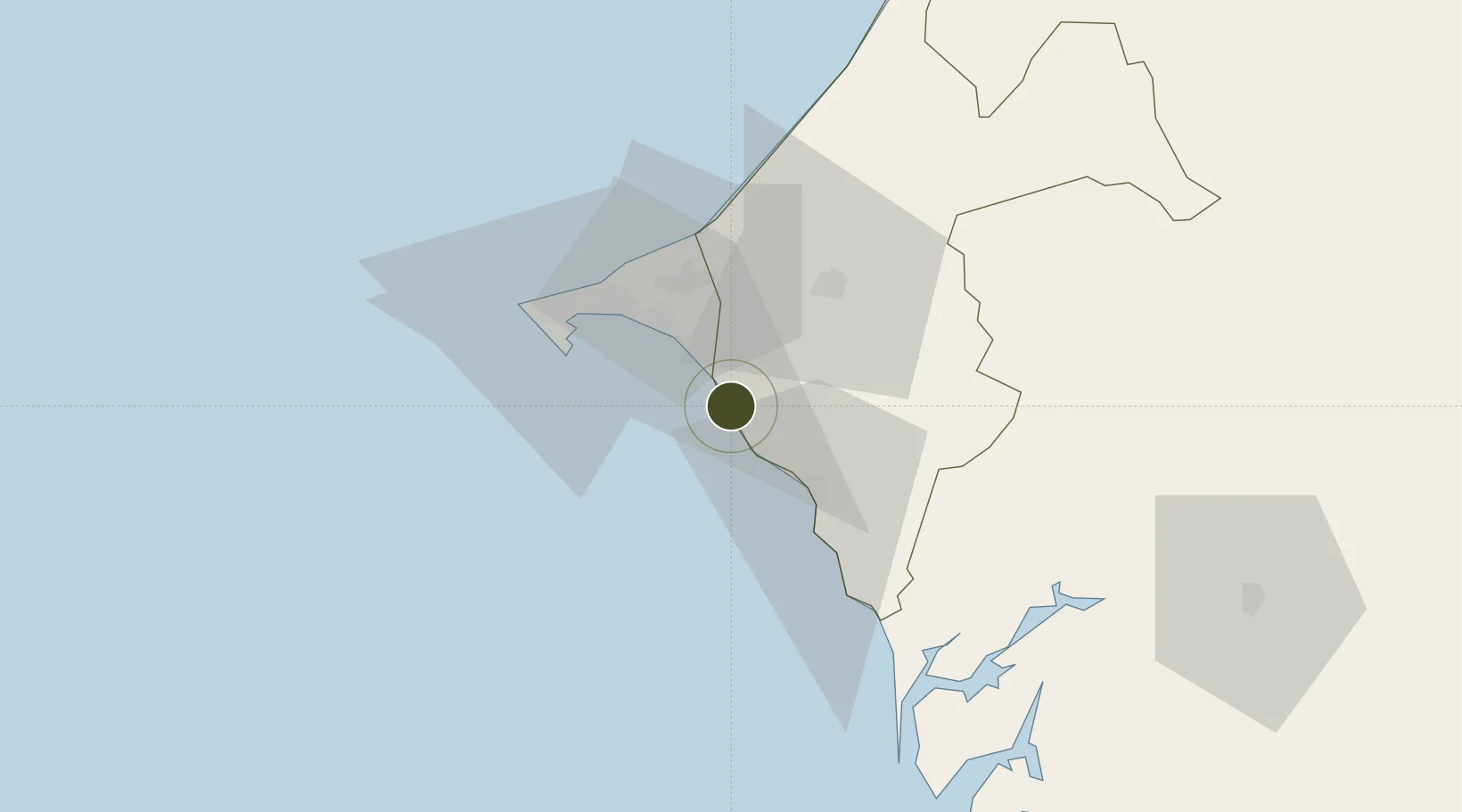
Nearby Logistics Neighbours

Ports
  1. 1Rufisque25 km
  2. 2M Bao Oil Terminal36 km
  3. 3Dakar38 km
  4. 4Lyndiane110 km
  5. 5Banjul136 km
Nearest neighbours — logibook spatial index (haversine) over the source coordinates
Airports
  1. 1Blaise Diagne International Airport14 km
  2. 2Léopold Sédar Senghor International Airport45 km
  3. 3Kaolack Airport123 km
  4. 4Banjul International Airport144 km
  5. 5Saint Louis Airport180 km
Nearest neighbours — logibook spatial index (haversine) over the source coordinates
Cities
  1. 1Thiès33 km
  2. 2Dakar36 km
  3. 3Banjul135 km
  4. 4Sukuta136 km
  5. 5Sanyang148 km
Nearest neighbours — logibook spatial index (haversine) over the source coordinates
Trade Zones
  1. 1Dakar Integrated Special Economic Zone13 km
  2. 2Diamniadio Special Economic Zone23 km
  3. 3Dakar Industrial Free Trade Zone33 km
  4. 4Sandiara Special Economic Zone35 km
  5. 5July 22 Business Park141 km
Nearest neighbours — logibook spatial index (haversine) over the source coordinates
DatabookThe Record of Consolidated Knowledge
Senegal beyond logistics?
Browse databook

All Sources

Trade ZonesOpen Zone Map
CC BY
Portsthe NGA World Port Index
Public domain (US gov)
AirportsOurAirports
Public domain
LocationsUN/LOCODE
UN/LOCODE — free
← Senegal trade zones