Transport Functions
Rail
Road
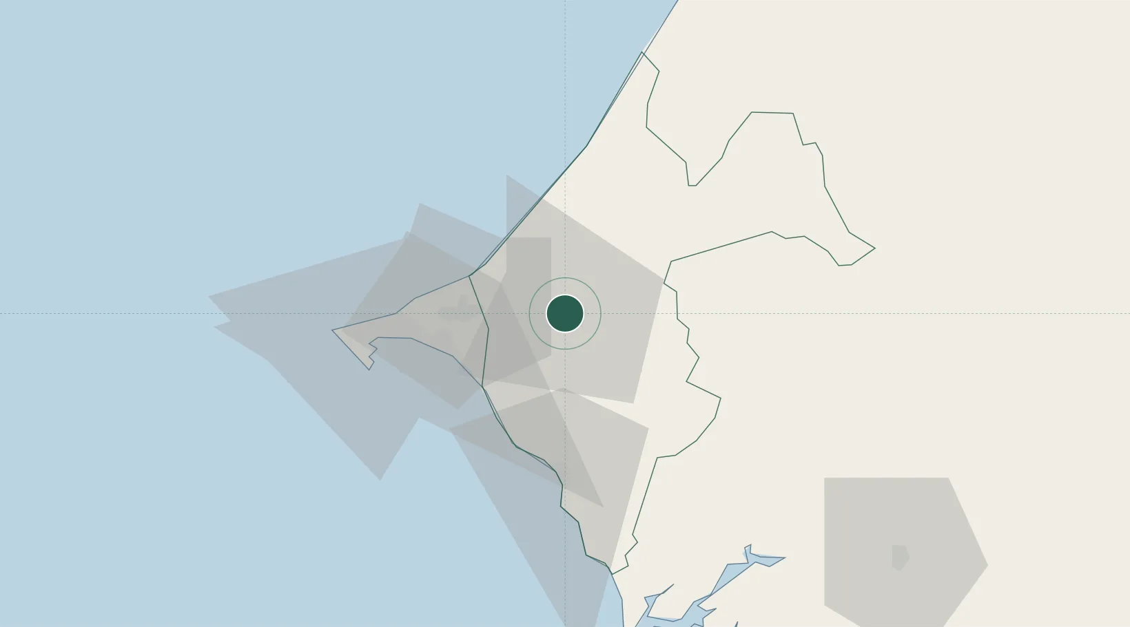
Hub Profile
Place type
Provincial seat
Region
Thiès
Population
317,763
Time zone
Africa/Dakar
Elevation
72 m
Location
Nearby Logistics Neighbours
Cities
- 1Dakar53 km
- 2Saint Louis145 km
- 3Banjul155 km
- 4Sukuta158 km
- 5Sanyang172 km
Ports
- 1Rufisque39 km
- 2M Bao Oil Terminal51 km
- 3Dakar55 km
- 4Lyndiane109 km
- 5St Louis143 km
Airports
DatabookThe Record of Consolidated Knowledge
Senegal beyond logistics?