Transport Functions
Port
Airport
Postal
Hub Profile
Place type
National capital
Region
Dakar
Population
2,646,503
Time zone
Africa/Dakar
Elevation
12 m
Logistics facilities
16
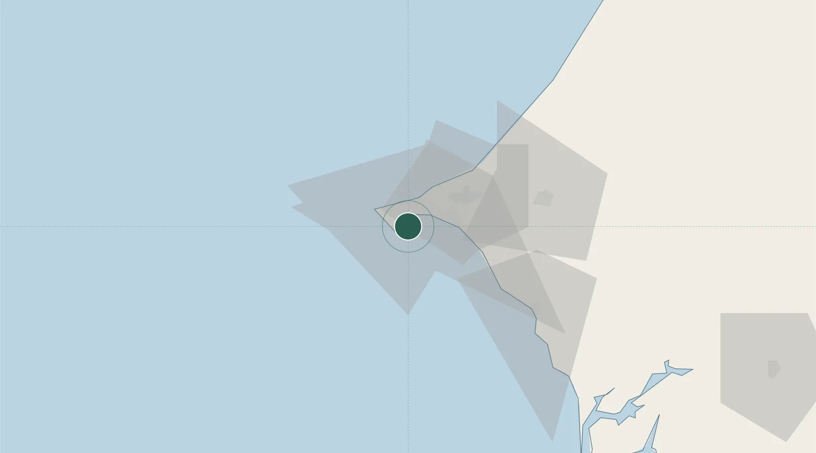
Location
Nearby Logistics Neighbours
Cities
- 1Thiès53 km
- 2Sukuta163 km
- 3Banjul165 km
- 4Sanyang174 km
- 5Saint Louis178 km
Ports
- 1M Bao Oil Terminal3 km
- 2Rufisque14 km
- 3Lyndiane146 km
- 4Banjul166 km
- 5St Louis176 km
Airports
DatabookThe Record of Consolidated Knowledge
Senegal beyond logistics?