Transport Functions
Port
Multimodal
Hub Profile
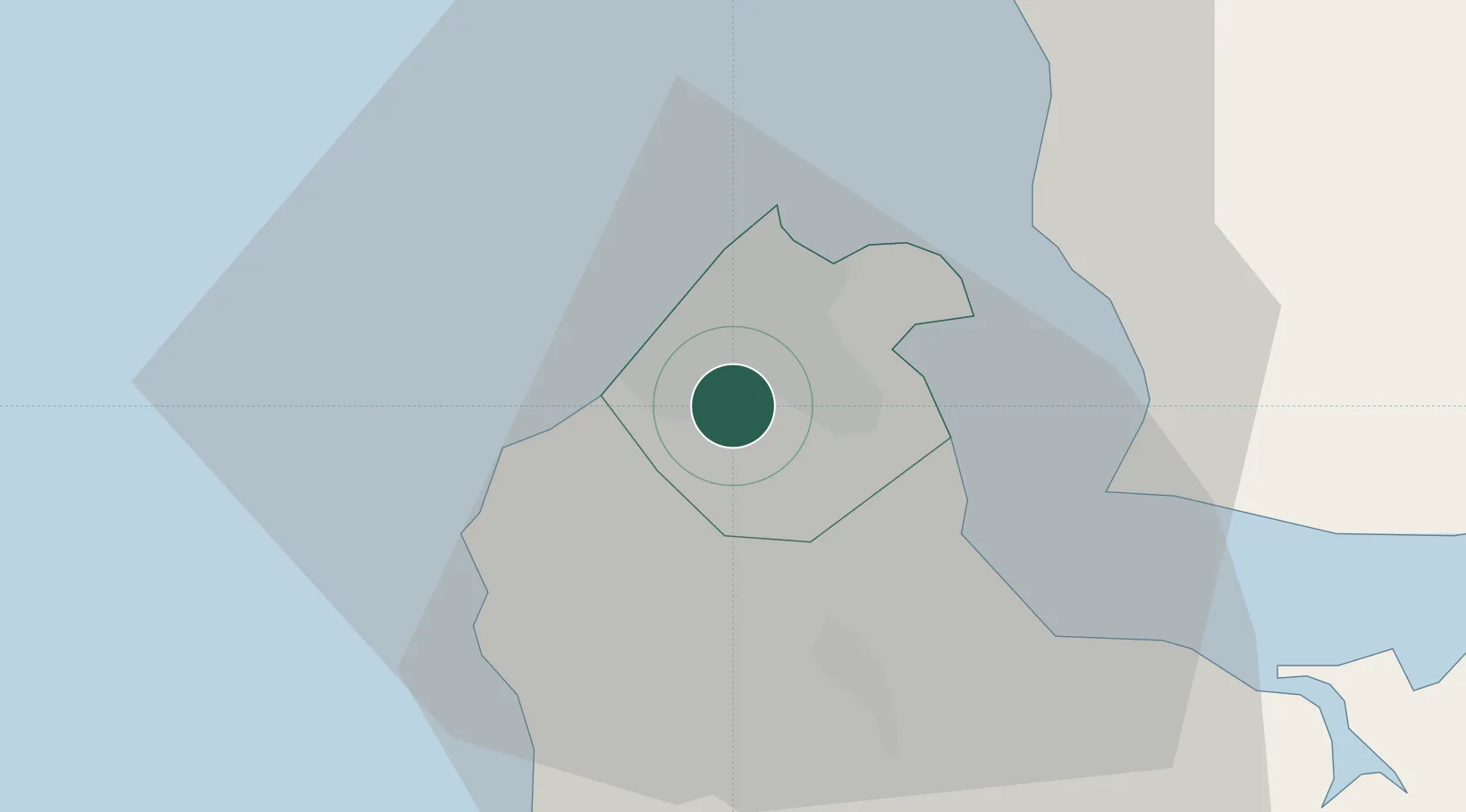
Place type
Populated place
Region
Western
Population
56,472
Time zone
Africa/Banjul
Elevation
27 m
Location
Nearby Logistics Neighbours
Cities
- 1Banjul14 km
- 2Sanyang16 km
- 3Ziguinchor102 km
- 4San Francisco Libre109 km
- 5Cacheu139 km
Ports
- 1Banjul16 km
- 2Lyndiane103 km
- 3Rio Cacheu134 km
- 4Rufisque158 km
- 5Dakar163 km
Airports
- 1Banjul International Airport9 km
- 2Ziguinchor Airport104 km
- 3Kaolack Airport109 km
- 4Cap Skirring Airport112 km
- 5Blaise Diagne International Airport147 km
Trade Zones
DatabookThe Record of Consolidated Knowledge
Gambia beyond logistics?