Medium airport · Senegal

Saint Louis AirportGOSS
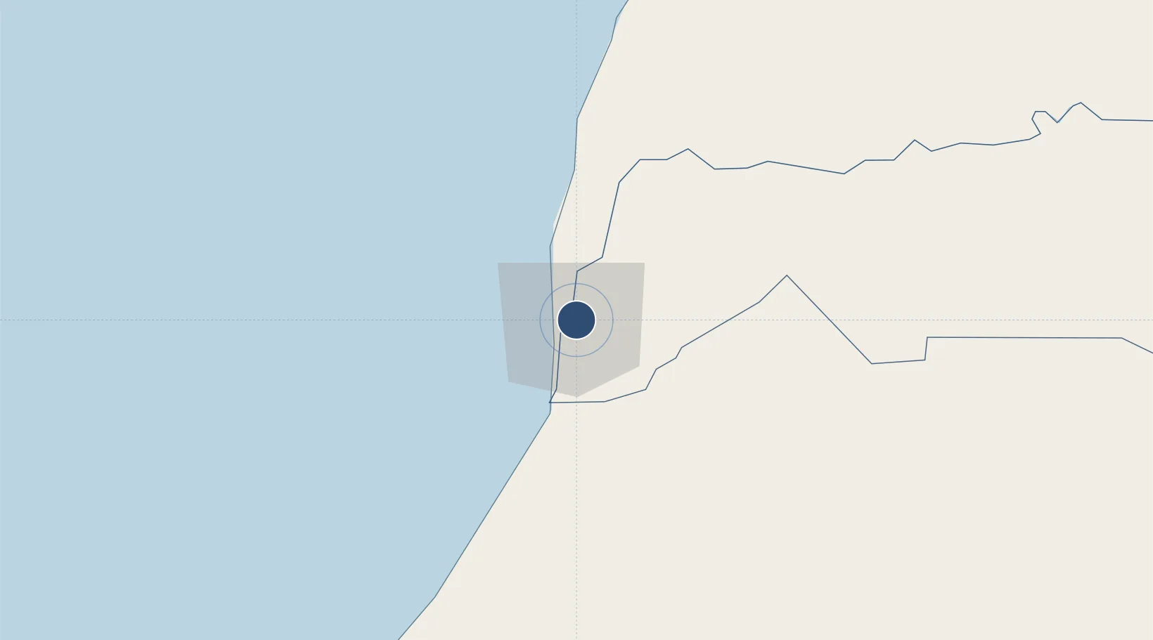
16.0498°, -16.4610°
6,230 ft
Longest runway
1
Runways
9 ft
Elevation

Runway & Layout

Saint Louis Airport runway & taxiway layout
Runway & taxiway layout — OpenStreetMap (ODbL) / OurAirports

Radio Frequencies

TWR
118.7 MHz
A/G
568 MHz
RDO
OurAirports

Navaids

SLO NDB Saint Louis 355 kHz
OurAirports

Runways · 1

RunwayDimensions SurfaceTrue headingLit
18/36 6,230 × 100ft Asphalt 173°
OurAirports

Airport Specifications

IATA code
XLS
OurAirports
ICAO code
GOSS
OurAirports
Airport class
Medium airport
OurAirports
Scheduled service
No
OurAirports
Runway surface
Asphalt
OurAirports
Served city
Saint Louis
OurAirports

Location

Location of GOSS
Natural Earth 10m (public domain) · Saint-Louis · GOSS · 16.05, -16.46GoogleOSMYandex

Nearby Logistics Neighbours

Airports
  1. 1Blaise Diagne International Airport167 km
  2. 2Léopold Sédar Senghor International Airport182 km
  3. 3Kaolack Airport216 km
  4. 4Nouakchott–Oumtounsy International Airport257 km
  5. 5Banjul International Airport302 km
Nearest neighbours — logibook spatial index (haversine) over the source coordinates
Cities
  1. 1Saint Louis5 km
  2. 2Rosso77 km
  3. 3Thiès148 km
  4. 4Dakar182 km
  5. 5Banjul289 km
Nearest neighbours — logibook spatial index (haversine) over the source coordinates
Ports
  1. 1St Louis7 km
  2. 2Rufisque174 km
  3. 3M Bao Oil Terminal179 km
  4. 4Dakar184 km
  5. 5Lyndiane212 km
Nearest neighbours — logibook spatial index (haversine) over the source coordinates
Trade Zones
  1. 1Dakar Integrated Special Economic Zone168 km
  2. 2Diamniadio Special Economic Zone168 km
  3. 3Dakar Industrial Free Trade Zone173 km
  4. 4Ndayane Port Special Economic Zone180 km
  5. 5Sandiara Special Economic Zone184 km
Nearest neighbours — logibook spatial index (haversine) over the source coordinates
DatabookThe Record of Consolidated Knowledge
Senegal beyond logistics?
Browse databook

All Sources

AirportsOurAirports
Public domain
Portsthe NGA World Port Index
Public domain (US gov)
LocationsUN/LOCODE
UN/LOCODE — free
Trade Zonesthe World Bank SEZ database
CC BY 4.0
Trade ZonesOpen Zone Map
CC BY
InfrastructureOpenStreetMap
ODbL 1.0
← Senegal airports