Transport Functions
Port
Airport
Postal
Hub Profile
Place type
National capital
Region
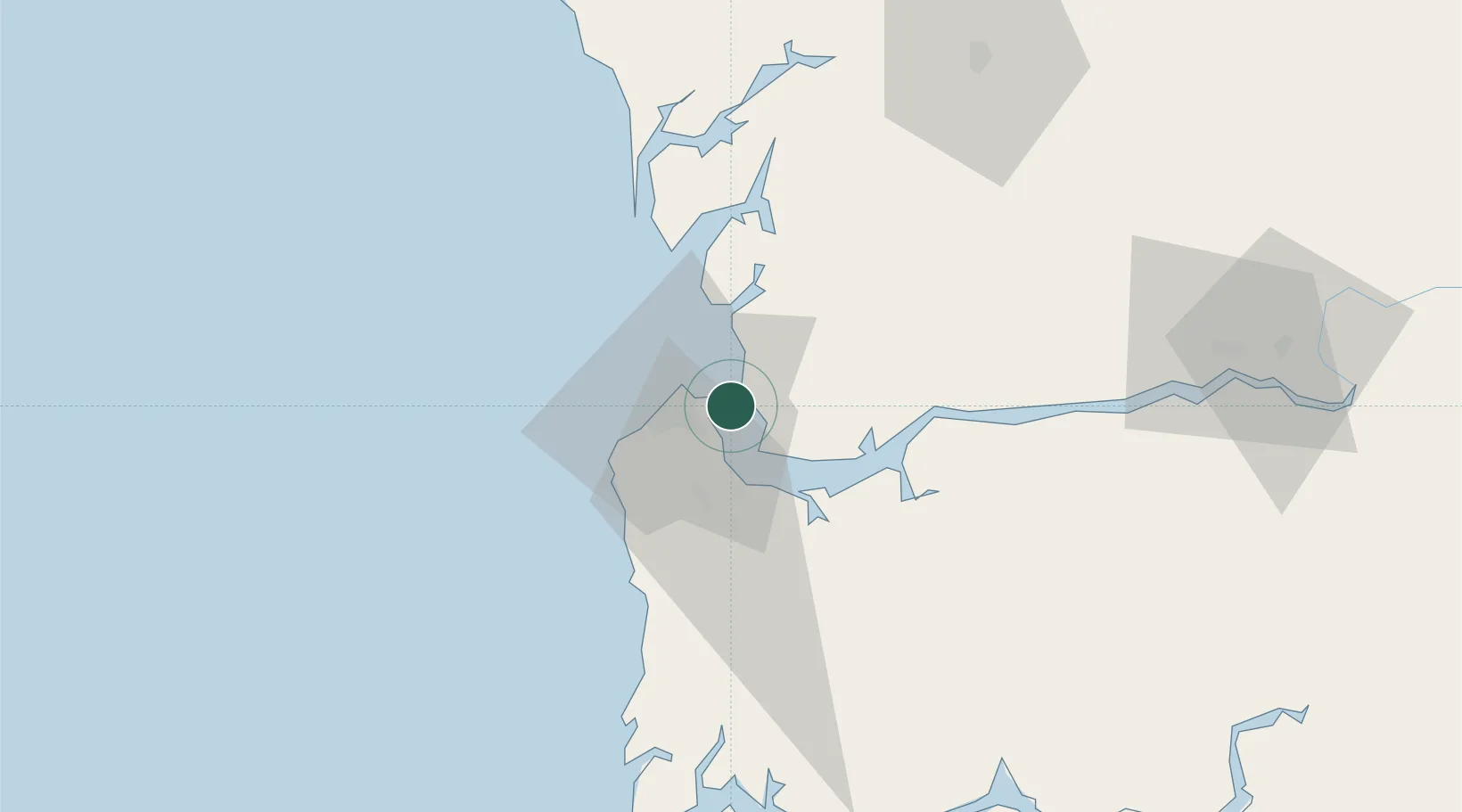
Banjul
Population
37,274
Time zone
Africa/Banjul
Elevation
5 m
Logistics facilities
4
Location
Nearby Logistics Neighbours
Cities
- 1Sukuta14 km
- 2Sanyang28 km
- 3Ziguinchor102 km
- 4San Francisco Libre110 km
- 5Cacheu140 km
Ports
- 1Lyndiane91 km
- 2Rio Cacheu135 km
- 3Rufisque158 km
- 4Dakar165 km
- 5M Bao Oil Terminal166 km
Airports
- 1Banjul International Airport15 km
- 2Kaolack Airport96 km
- 3Ziguinchor Airport105 km
- 4Cap Skirring Airport119 km
- 5Blaise Diagne International Airport146 km
Trade Zones
DatabookThe Record of Consolidated Knowledge
Gambia beyond logistics?