Channel & Berth Profile
Pilotage, Tugs & Services
Pilotage compulsoryYES
Pilotage availableYES
Pilotage advisableYES
Tug assistanceYES
Potable waterYES
MedicalYES
Garbage disposalYES
Facilities & Capabilities
Container—
Ro-Ro—
Liquid bulk—
Dry bulk—
Oil terminal—
Break bulk—
Dry dock—
RepairsNO
BunkeringNO
Rail linkNO
Dangerous cargo—
ISPS security—
Harbour Specifications
Harbour size
Very Small
Harbour type
Open Roadstead
Shelter
Poor
Water body
North Atlantic Ocean
Tidal range
1 m
Pilotage
Yes
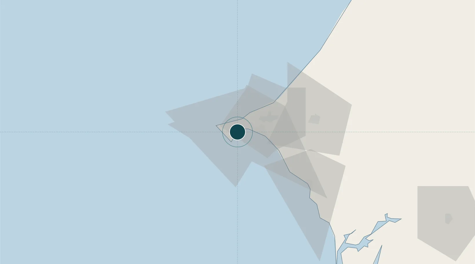
Location
Nearby Logistics Neighbours
Cities
- 1Dakar3 km
- 2Thiès51 km
- 3Sukuta165 km
- 4Banjul166 km
- 5Saint Louis175 km
Airports
DatabookThe Record of Consolidated Knowledge
Senegal beyond logistics?