Transport Functions
Port
Road
Border Crossing
Hub Profile
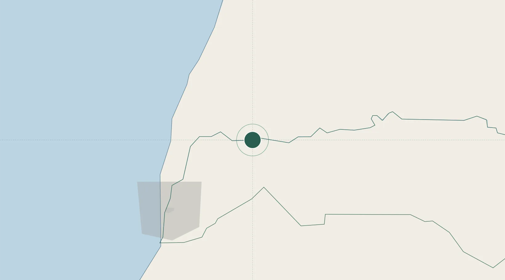
Place type
Regional capital
Region
Trarza
Population
15,870
Time zone
Africa/Nouakchott
Elevation
8 m
Location
Nearby Logistics Neighbours
Cities
- 1Saint Louis81 km
- 2Thiès218 km
- 3Dakar257 km
- 4Banjul346 km
- 5Sukuta355 km
Ports
- 1St Louis84 km
- 2Nouakchott171 km
- 3Rufisque248 km
- 4M Bao Oil Terminal254 km
- 5Dakar259 km
Airports
Trade Zones
DatabookThe Record of Consolidated Knowledge
Mauritania beyond logistics?