Diversified Zone · Senegal

Sandiara Special Economic Zone Under Development
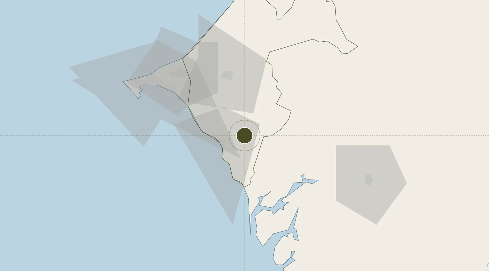
14.4341°, -16.8092°
100 ha
Zone area
59.0 km
Nearest port
38.7 km
Nearest airport

Gateway access

Nearest neighbours — logibook spatial index (haversine) over the source coordinates

Zone profile

Zone type
Diversified Zone
Open Zone Map
Region
Thiès
Open Zone Map
Status
Under Development
Open Zone Map
Management
Private
Open Zone Map
Operator
Agency for the Promotion of Investments
Open Zone Map
Legal framework
Decree No. 2017-2189 of November 22nd, 2017; 2017-06 Special Economic Zones (ZES) Act
Open Zone Map

Location

Location of ozm-4108
Natural Earth 10m (public domain) · Thiès · ozm-4108 · 14.43, -16.81GoogleOSMYandex

Nearby Logistics Neighbours

Ports
  1. 1Rufisque59 km
  2. 2M Bao Oil Terminal71 km
  3. 3Dakar73 km
  4. 4Lyndiane75 km
  5. 5Banjul113 km
Nearest neighbours — logibook spatial index (haversine) over the source coordinates
Airports
  1. 1Blaise Diagne International Airport39 km
  2. 2Léopold Sédar Senghor International Airport80 km
  3. 3Kaolack Airport88 km
  4. 4Banjul International Airport123 km
  5. 5Saint Louis Airport184 km
Nearest neighbours — logibook spatial index (haversine) over the source coordinates
Cities
  1. 1Thiès43 km
  2. 2Dakar71 km
  3. 3Banjul112 km
  4. 4Sukuta116 km
  5. 5Sanyang130 km
Nearest neighbours — logibook spatial index (haversine) over the source coordinates
Trade Zones
  1. 1Ndayane Port Special Economic Zone35 km
  2. 2Dakar Integrated Special Economic Zone40 km
  3. 3Diamniadio Special Economic Zone56 km
  4. 4Dakar Industrial Free Trade Zone67 km
  5. 5July 22 Business Park120 km
Nearest neighbours — logibook spatial index (haversine) over the source coordinates
DatabookThe Record of Consolidated Knowledge
Senegal beyond logistics?
Browse databook

All Sources

Trade ZonesOpen Zone Map
CC BY
Portsthe NGA World Port Index
Public domain (US gov)
AirportsOurAirports
Public domain
LocationsUN/LOCODE
UN/LOCODE — free
← Senegal trade zones