Large airport · Senegal

Léopold Sédar Senghor International AirportGOOY
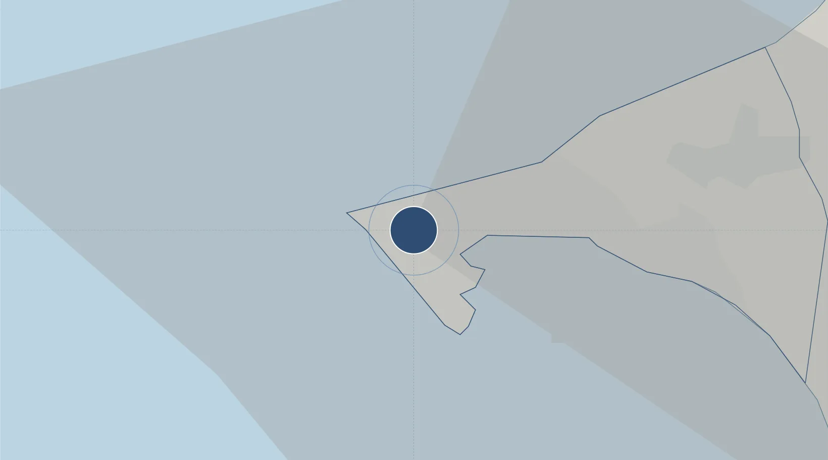
14.7423°, -17.4792°
11,450 ft
Longest runway
1
Runways
85 ft
Elevation

Runway & Layout

Léopold Sédar Senghor International Airport runway & taxiway layout
Runway & taxiway layout — OpenStreetMap (ODbL) / OurAirports

Radio Frequencies

TWR
118.1 MHz
DAKAR TWR
APP
120.5 MHz
DAKAR CON
INFO
129.5 MHz
DAKAR INFO
INFO
345.2 MHz
DAKAR INFO
OurAirports

Navaids

SDS NDB Dakar 323 kHz
YF VOR-DME Dakar 113.10 MHz
OurAirports

Runways · 1

RunwayDimensions SurfaceTrue headingLit
18/36 11,450 × 148ft Asphalt 173°
OurAirports

Airport Specifications

IATA code
DKR
OurAirports
ICAO code
GOOY
OurAirports
Airport class
Large airport
OurAirports
Scheduled service
Yes
OurAirports
Runway surface
Asphalt
OurAirports
Served city
Dakar
OurAirports

Location

Location of GOOY
Natural Earth 10m (public domain) · Dakar · GOOY · 14.74, -17.48GoogleOSMYandex

Nearby Logistics Neighbours

Airports
  1. 1Blaise Diagne International Airport44 km
  2. 2Kaolack Airport167 km
  3. 3Banjul International Airport180 km
  4. 4Saint Louis Airport182 km
  5. 5Cap Skirring Airport273 km
Nearest neighbours — logibook spatial index (haversine) over the source coordinates
Cities
  1. 1Dakar9 km
  2. 2Thiès59 km
  3. 3Sukuta171 km
  4. 4Banjul173 km
  5. 5Saint Louis178 km
Nearest neighbours — logibook spatial index (haversine) over the source coordinates
Ports
  1. 1Dakar8 km
  2. 2M Bao Oil Terminal9 km
  3. 3Rufisque22 km
  4. 4Lyndiane155 km
  5. 5Banjul174 km
Nearest neighbours — logibook spatial index (haversine) over the source coordinates
Trade Zones
  1. 1Dakar Industrial Free Trade Zone15 km
  2. 2Diamniadio Special Economic Zone27 km
  3. 3Dakar Integrated Special Economic Zone42 km
  4. 4Ndayane Port Special Economic Zone45 km
  5. 5Sandiara Special Economic Zone80 km
Nearest neighbours — logibook spatial index (haversine) over the source coordinates
DatabookThe Record of Consolidated Knowledge
Senegal beyond logistics?
Browse databook

All Sources

AirportsOurAirports
Public domain
Portsthe NGA World Port Index
Public domain (US gov)
LocationsUN/LOCODE
UN/LOCODE — free
Trade Zonesthe World Bank SEZ database
CC BY 4.0
Trade ZonesOpen Zone Map
CC BY
InfrastructureOpenStreetMap
ODbL 1.0
← Senegal airports