Dakar Industrial Free Trade Zone · Senegal
Dakar Industrial Free Trade Zone
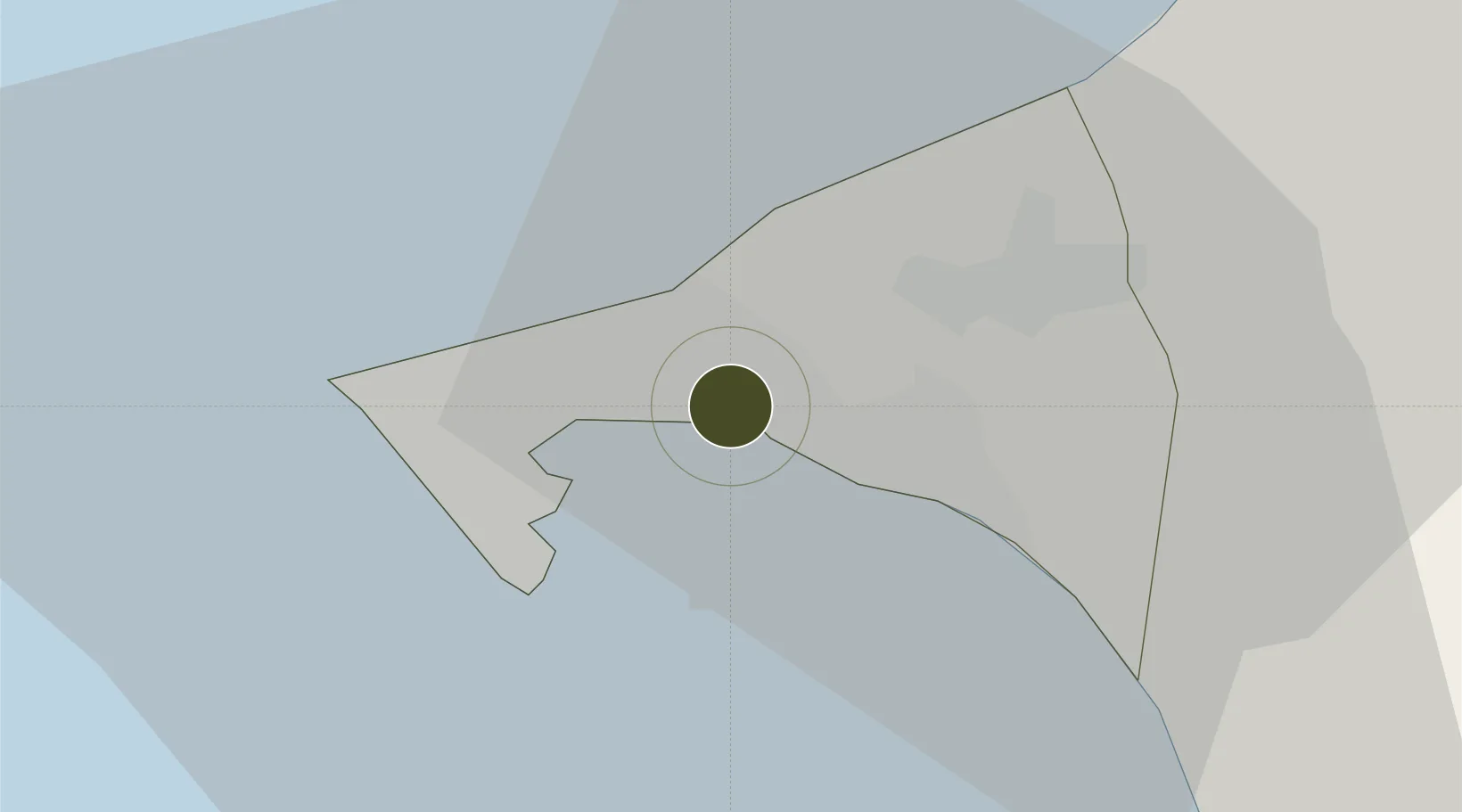
14.7444°, -17.3431°
650 ha
Zone area
6.8 km
Nearest port
14.6 km
Nearest airport
Gateway access
Zone profile
Zone type
Dakar Industrial Free Trade Zone
Region
Dakar
Established
1974
Management
Public agency
Operator
Free Zone Administration of Senegal
Regulatory authority
Inactive
Legal framework
Inactive
Location
Fiscal & incentives
Corporate tax
30%
Tax relief
Exemption program expired in 2016
Relief duration
Exemption program expired in 2016
VAT
Exemption program expired in 2016
Import duty (inputs)
Exemption program expired in 2016
Import duty (capex)
Exemption program expired in 2016
Profit repatriation
Exemption program expired in 2016
Capital gains
Exemption program expired in 2016
Withholding tax
Exemption program expired in 2016
Min. investment
Exemption program expired in 2016
Min. export
Exemption program expired in 2016
Employment incentive
Exemption program expired in 2016
Developer incentive
Inactive
Nearby Logistics Neighbours
Ports
- 1M Bao Oil Terminal7 km
- 2Rufisque8 km
- 3Dakar12 km
- 4Lyndiane142 km
- 5Banjul167 km
Airports
Cities
- 1Dakar9 km
- 2Thiès45 km
- 3Sukuta165 km
- 4Banjul166 km
- 5Saint Louis169 km
Trade Zones
DatabookThe Record of Consolidated Knowledge
Senegal beyond logistics?