Seaport · Mauritania
NouakchottMRNKC
18.0333°, -16.0333°
11.0 m
Channel depth
1
Container terminals
78.9
Port liner connectivity
Channel & Berth Profile
Pilotage, Tugs & Services
Pilotage compulsoryYES
Pilotage availableYES
Tug assistanceYES
Potable waterYES
MedicalYES
Garbage disposalNO
Facilities & Capabilities
Container—
Ro-Ro—
Liquid bulk—
Dry bulk—
Oil terminal—
Break bulk—
Dry dock—
Repairs—
Bunkering—
Rail link—
Dangerous cargo—
ISPS security—
Harbour Specifications
Harbour size
Small
Harbour type
Open Roadstead
Shelter
Poor
Water body
North Atlantic Ocean
Tidal range
1 m
Pilotage
Yes
Liner Connectivity
78.9
PLSCI
Port Liner Shipping Connectivity Index for Nouakchott, as published by UNCTAD for the latest available quarter. Higher values indicate stronger scheduled liner-shipping integration.
Shown relative to the highest per-port PLSCI in the dataset (1,657.9).
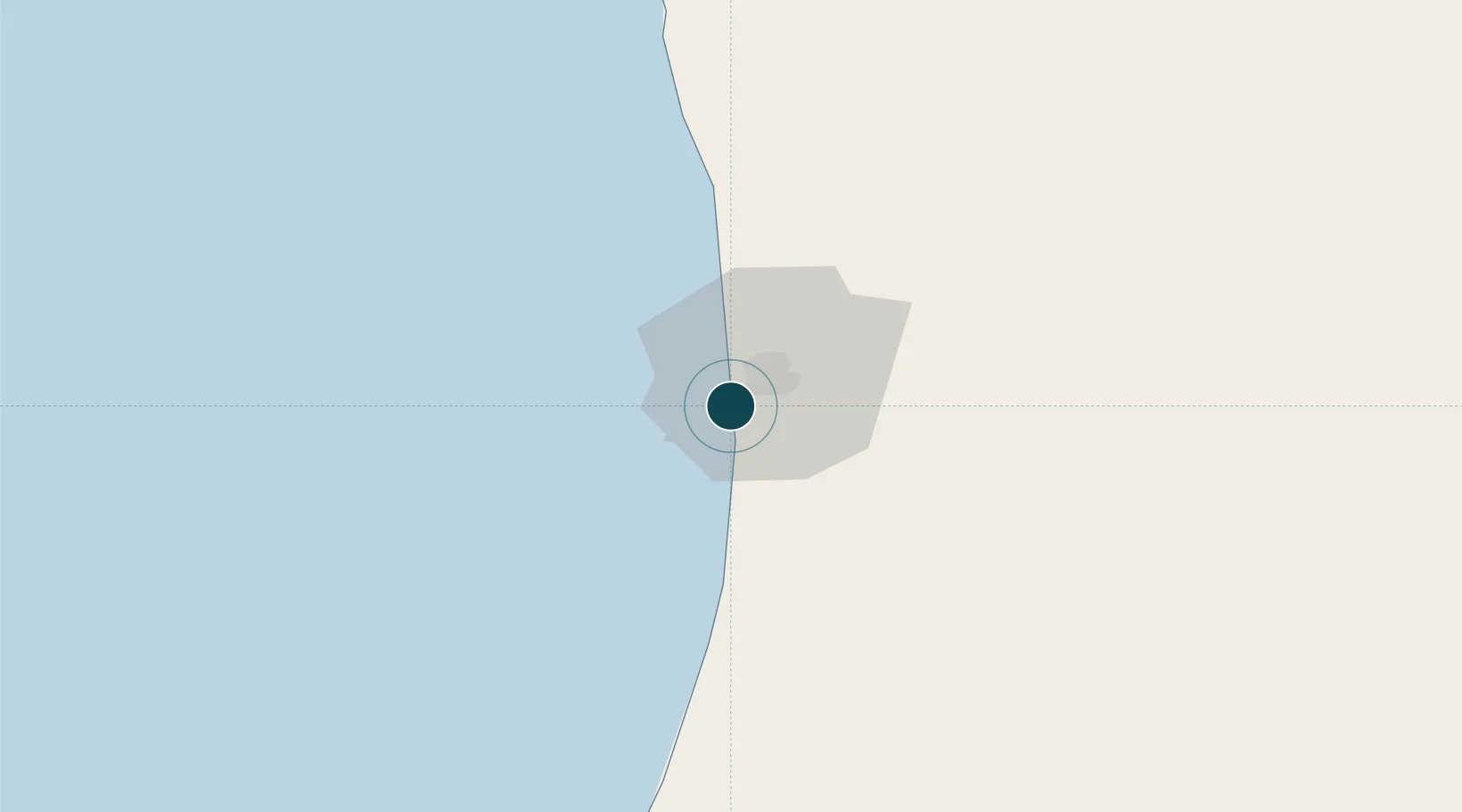
Location
Container Terminals · 1
TERMINAL A CONTENEURS DE NOUAKCHOTT (TCN)
TCN
Nearby Logistics Neighbours
Ports
- 1St Louis230 km
- 2Nouadhibou338 km
- 3Rufisque394 km
- 4M Bao Oil Terminal397 km
- 5Dakar401 km
Cities
- 1Rosso171 km
- 2Saint Louis228 km
- 3Nouadhibou336 km
- 4Thiès372 km
- 5Dakar399 km
Airports
Trade Zones
DatabookThe Record of Consolidated Knowledge
Mauritania beyond logistics?