Large airport · Mauritania

Nouakchott–Oumtounsy International AirportGQNO
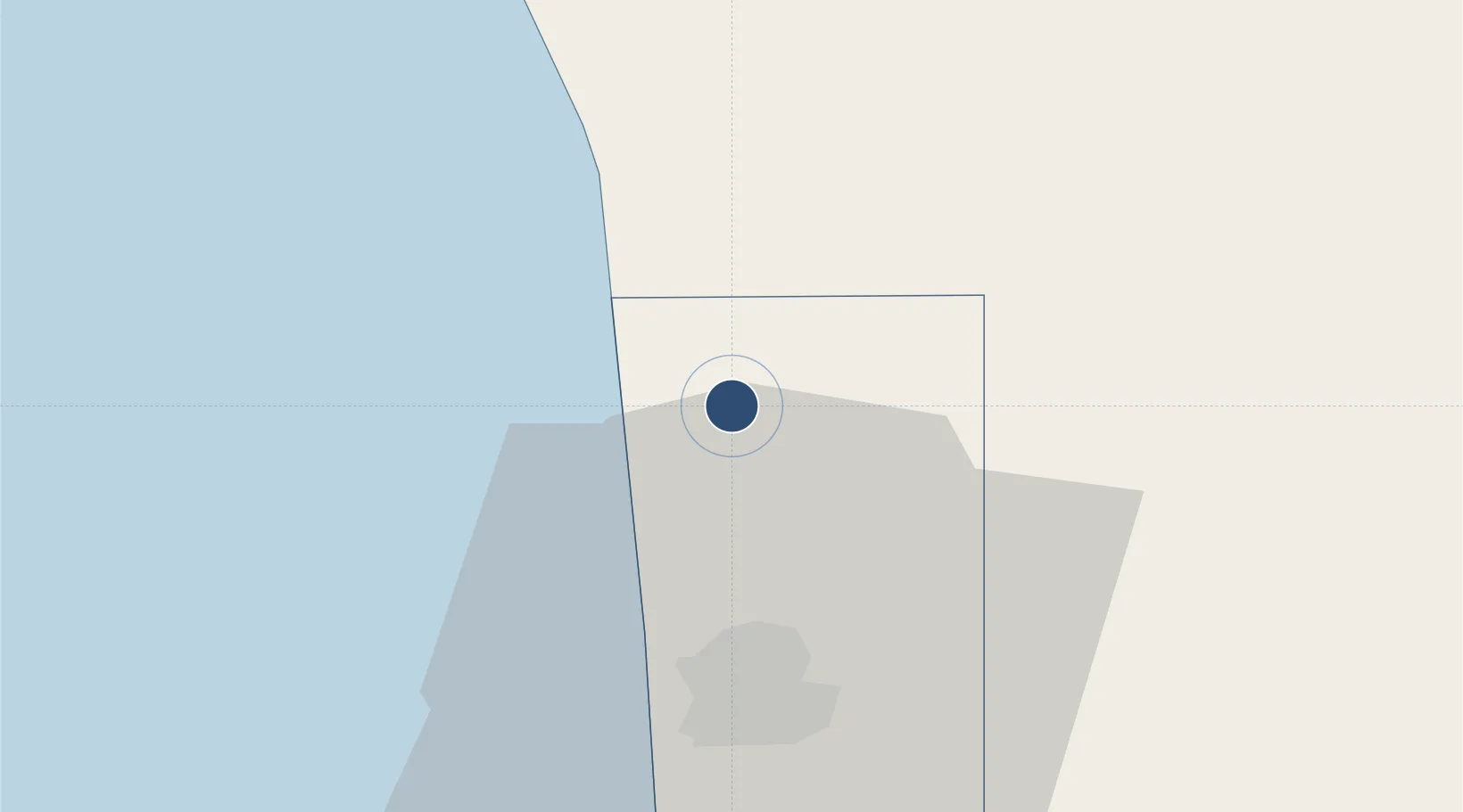
18.3100°, -15.9697°
11,155 ft
Longest runway
2
Runways
9 ft
Elevation

Runway & Layout

Nouakchott–Oumtounsy International Airport runway & taxiway layout
Runway & taxiway layout — OpenStreetMap (ODbL) / OurAirports

Radio Frequencies

TWR
118.4 MHz
ATIS (en)
127.7 MHz
ATIS (fr)
126.6 MHz
SMC
121.7 MHz
GND
OurAirports

Runways · 2

RunwayDimensions SurfaceTrue headingLit
16/34 11,155 × 197ft concrete 150°
06/24 7,875 × 148ft concrete 050°
OurAirports

Airport Specifications

IATA code
NKC
OurAirports
ICAO code
GQNO
OurAirports
Airport class
Large airport
OurAirports
Scheduled service
Yes
OurAirports
Runway surface
concrete
OurAirports
Served city
Nouakchott
OurAirports

Location

Location of GQNO
Natural Earth 10m (public domain) · Nouakchott · GQNO · 18.31, -15.97GoogleOSMYandex

Nearby Logistics Neighbours

Airports
  1. 1Saint Louis Airport257 km
  2. 2Nouadhibou International Airport312 km
  3. 3Atar International Airport392 km
  4. 4Ouro Sogui Airport413 km
  5. 5Blaise Diagne International Airport421 km
Nearest neighbours — logibook spatial index (haversine) over the source coordinates
Cities
  1. 1Rosso201 km
  2. 2Saint Louis259 km
  3. 3Nouadhibou309 km
  4. 4Nouakchott373 km
  5. 5Thiès404 km
Nearest neighbours — logibook spatial index (haversine) over the source coordinates
Ports
  1. 1Nouakchott32 km
  2. 2St Louis262 km
  3. 3Nouadhibou311 km
  4. 4Rufisque425 km
  5. 5M Bao Oil Terminal428 km
Nearest neighbours — logibook spatial index (haversine) over the source coordinates
Trade Zones
  1. 1Nouadibhou Free Zone310 km
  2. 2Diamniadio Special Economic Zone420 km
  3. 3Dakar Integrated Special Economic Zone422 km
  4. 4Dakar Industrial Free Trade Zone423 km
  5. 5Ndayane Port Special Economic Zone435 km
Nearest neighbours — logibook spatial index (haversine) over the source coordinates
DatabookThe Record of Consolidated Knowledge
Mauritania beyond logistics?
Browse databook

All Sources

AirportsOurAirports
Public domain
Portsthe NGA World Port Index
Public domain (US gov)
LocationsUN/LOCODE
UN/LOCODE — free
Trade Zonesthe World Bank SEZ database
CC BY 4.0
Trade ZonesOpen Zone Map
CC BY
InfrastructureOpenStreetMap
ODbL 1.0
← Mauritania airports