UN/LOCODE hub · Gambia
GMSYG

Sanyang

13.2667°, -16.7500°
15,090
Population
1
Transport functions

Transport Functions

Multimodal
UN/LOCODE

Hub Profile

Place type
Populated place
GeoNames
Region
Western
GeoNames
Population
15,090
GeoNames
Time zone
Africa/Banjul
GeoNames
Elevation
22 m
GeoNames

Location

Location of GMSYG
Natural Earth 10m (public domain) · Western · GMSYG · 13.27, -16.75GoogleOSMYandex

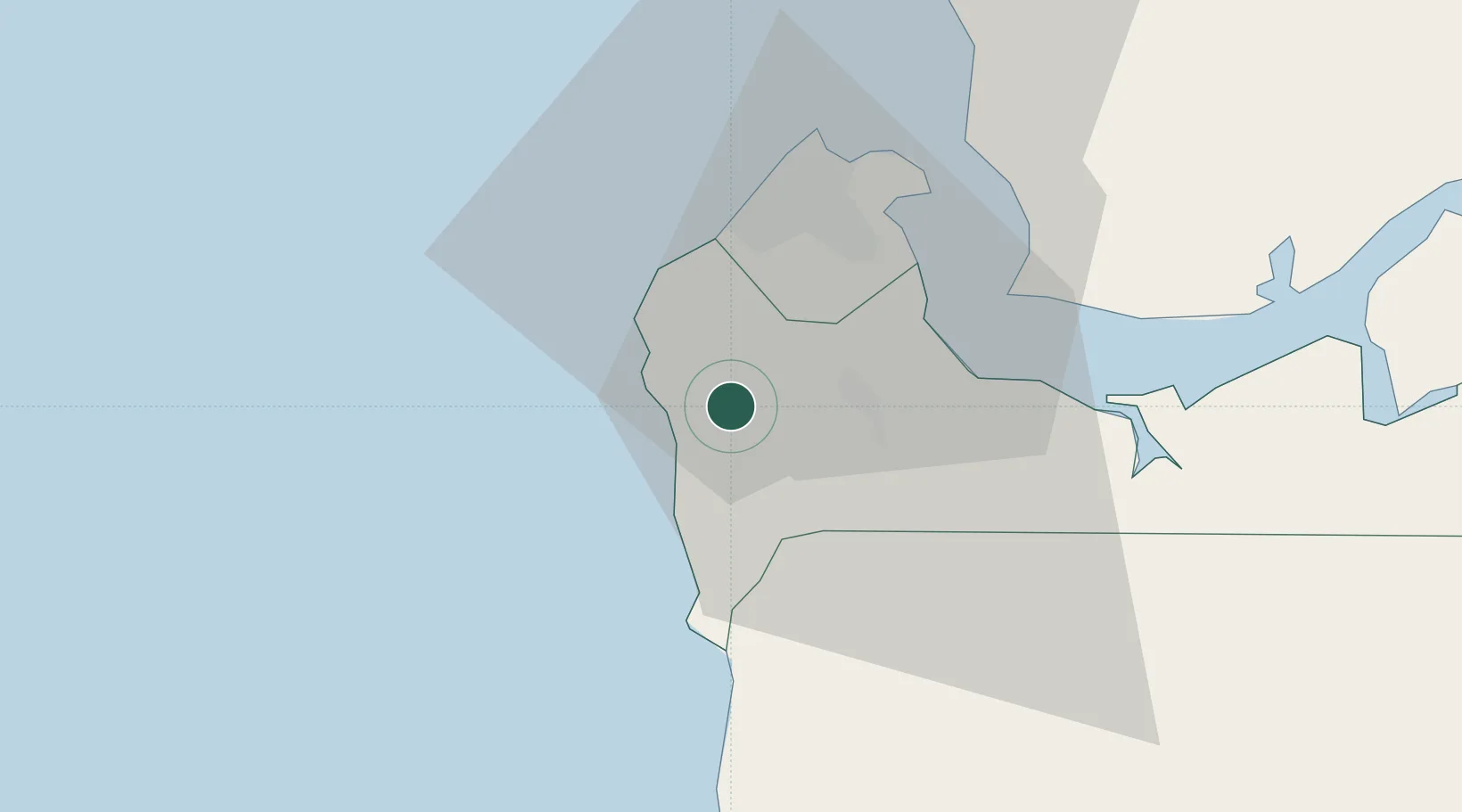
Nearby Logistics Neighbours

Cities
  1. 1Sukuta16 km
  2. 2Banjul28 km
  3. 3Ziguinchor92 km
  4. 4San Francisco Libre98 km
  5. 5Cacheu129 km
Nearest neighbours — logibook spatial index (haversine) over the source coordinates
Ports
  1. 1Banjul28 km
  2. 2Lyndiane118 km
  3. 3Rio Cacheu123 km
  4. 4Rufisque169 km
  5. 5Dakar174 km
Nearest neighbours — logibook spatial index (haversine) over the source coordinates
Airports
  1. 1Banjul International Airport13 km
  2. 2Ziguinchor Airport94 km
  3. 3Cap Skirring Airport97 km
  4. 4Kaolack Airport124 km
  5. 5Blaise Diagne International Airport160 km
Nearest neighbours — logibook spatial index (haversine) over the source coordinates
Trade Zones
  1. 1Banjul Airport Export Processing Zone14 km
  2. 2July 22 Business Park14 km
  3. 3GIETAF Special Economic Zone14 km
  4. 4Sandiara Special Economic Zone130 km
  5. 5Ndayane Port Special Economic Zone148 km
Nearest neighbours — logibook spatial index (haversine) over the source coordinates
DatabookThe Record of Consolidated Knowledge
Gambia beyond logistics?
Browse databook

All Sources

LocationsUN/LOCODE
UN/LOCODE — free
LocationsGeoNames
CC BY 4.0
Portsthe NGA World Port Index
Public domain (US gov)
AirportsOurAirports
Public domain
Trade Zonesthe World Bank SEZ database
CC BY 4.0
Trade ZonesOpen Zone Map
CC BY
← Gambia locations