Large airport · Gambia

Banjul International AirportGBYD
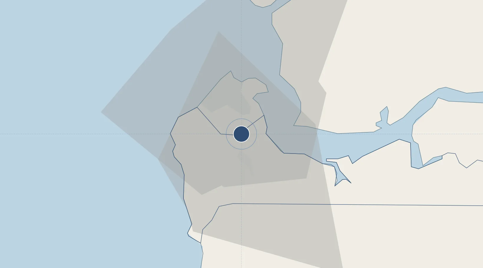
13.3380°, -16.6522°
11,811 ft
Longest runway
1
Runways
95 ft
Elevation

Runway & Layout

Banjul International Airport runway & taxiway layout
Runway & taxiway layout — OpenStreetMap (ODbL) / OurAirports

Radio Frequencies

TWR
118.3 MHz
GND
121.9 MHz
APP
121.3 MHz
OurAirports

Navaids

BJ VOR-DME Banjul 112.90 MHz
ND NDB Banjul 256 kHz
OurAirports

Runways · 1

RunwayDimensions SurfaceTrue headingLit
14/32 11,811 × 148ft Asphalt 131°
OurAirports

Airport Specifications

IATA code
BJL
OurAirports
ICAO code
GBYD
OurAirports
Airport class
Large airport
OurAirports
Scheduled service
Yes
OurAirports
Runway surface
Asphalt
OurAirports
Served city
Yundum
OurAirports

Location

Location of GBYD
Natural Earth 10m (public domain) · West Coast · GBYD · 13.34, -16.65GoogleOSMYandex

Nearby Logistics Neighbours

Airports
  1. 1Ziguinchor Airport96 km
  2. 2Cap Skirring Airport105 km
  3. 3Kaolack Airport111 km
  4. 4Blaise Diagne International Airport155 km
  5. 5Léopold Sédar Senghor International Airport180 km
Nearest neighbours — logibook spatial index (haversine) over the source coordinates
Cities
  1. 1Sukuta9 km
  2. 2Sanyang13 km
  3. 3Banjul15 km
  4. 4Ziguinchor93 km
  5. 5San Francisco Libre101 km
Nearest neighbours — logibook spatial index (haversine) over the source coordinates
Ports
  1. 1Banjul16 km
  2. 2Lyndiane106 km
  3. 3Rio Cacheu126 km
  4. 4Rufisque166 km
  5. 5Dakar172 km
Nearest neighbours — logibook spatial index (haversine) over the source coordinates
Trade Zones
  1. 1Banjul Airport Export Processing Zone1 km
  2. 2GIETAF Special Economic Zone2 km
  3. 3July 22 Business Park3 km
  4. 4Sandiara Special Economic Zone123 km
  5. 5Ndayane Port Special Economic Zone144 km
Nearest neighbours — logibook spatial index (haversine) over the source coordinates
DatabookThe Record of Consolidated Knowledge
Gambia beyond logistics?
Browse databook

All Sources

AirportsOurAirports
Public domain
Portsthe NGA World Port Index
Public domain (US gov)
LocationsUN/LOCODE
UN/LOCODE — free
Trade Zonesthe World Bank SEZ database
CC BY 4.0
Trade ZonesOpen Zone Map
CC BY
InfrastructureOpenStreetMap
ODbL 1.0
← Gambia airports