Seaport · Gambia
BanjulGMBJL
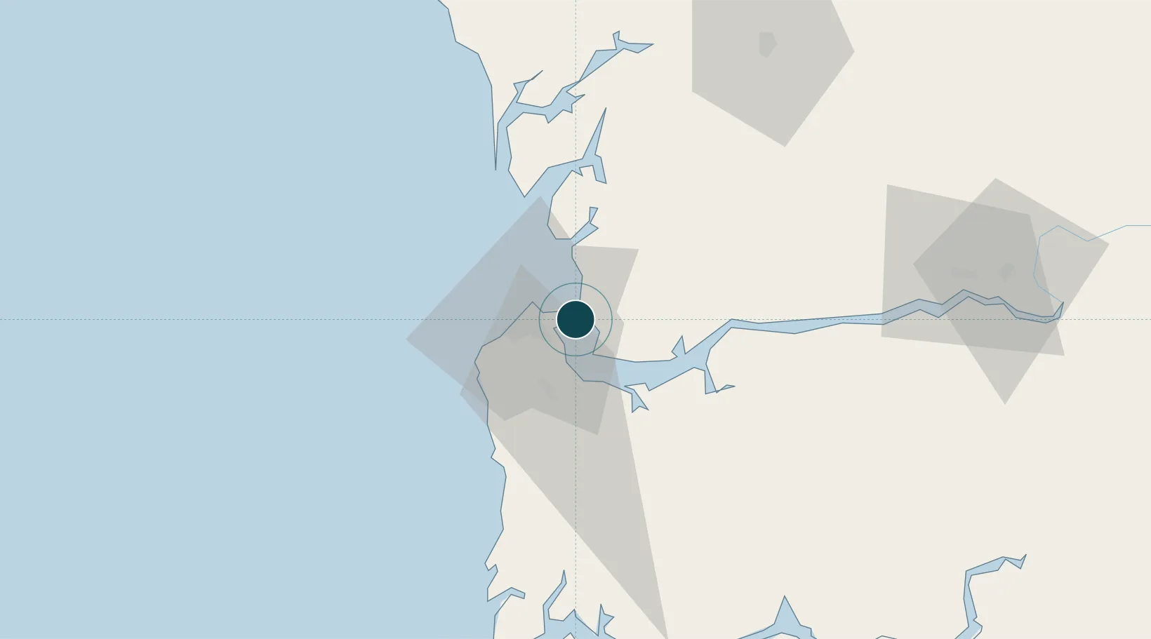
13.4500°, -16.5667°
7.9 m
Channel depth
1
Container terminals
34.7
Port liner connectivity
Channel & Berth Profile
Pilotage, Tugs & Services
Pilotage compulsoryYES
Tug assistanceYES
Shore powerYES
Potable waterYES
Diesel bunkersNO
MedicalYES
Garbage disposalYES
Facilities & Capabilities
Container—
Ro-Ro—
Liquid bulk—
Dry bulk—
Oil terminal—
Break bulk—
Dry dock—
RepairsNO
BunkeringYES
Rail link—
Dangerous cargo—
ISPS security—
Harbour Specifications
Harbour size
Very Small
Harbour type
River (Natural)
Shelter
Fair
Water body
North Atlantic Ocean
Tidal range
2 m
Overhead limit
No
Pilotage
Yes
Liner Connectivity
34.7
PLSCI
Port Liner Shipping Connectivity Index for Banjul, as published by UNCTAD for the latest available quarter. Higher values indicate stronger scheduled liner-shipping integration.
Shown relative to the highest per-port PLSCI in the dataset (1,657.9).
Location
Container Terminals · 1
PORT OF BANJUL
GPA GAMBIA PORTS AUTHORITY (GPA)
Nearby Logistics Neighbours
Ports
- 1Lyndiane91 km
- 2Rio Cacheu135 km
- 3Rufisque159 km
- 4Dakar166 km
- 5M Bao Oil Terminal167 km
Cities
- 1Sukuta16 km
- 2Sanyang28 km
- 3Ziguinchor101 km
- 4San Francisco Libre110 km
- 5Cacheu139 km
Airports
- 1Banjul International Airport16 km
- 2Kaolack Airport95 km
- 3Ziguinchor Airport104 km
- 4Cap Skirring Airport119 km
- 5Blaise Diagne International Airport146 km
Trade Zones
DatabookThe Record of Consolidated Knowledge
Gambia beyond logistics?