Small airport · Solomon Islands
Ramata AirportAGRM
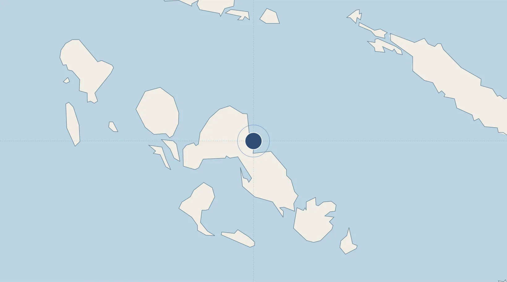
-8.1681°, 157.6430°
2,500 ft
Longest runway
1
Runways
Runway & Layout

Runways · 1
| Runway | Dimensions | Surface | True heading | Lit |
|---|---|---|---|---|
| 14/32 | 2,500 × —ft | — | — | — |
Airport Specifications
IATA code
RBV
ICAO code
AGRM
Airport class
Small airport
Scheduled service
Yes
Served city
Ramata
Location
Nearby Logistics Neighbours
Airports
- 1Munda Airport45 km
- 2Nusatupe Airport86 km
- 3Gatokae Aerodrome88 km
- 4Kaghau Airport93 km
- 5Suavanao Airport136 km
Cities
- 1Lever Harbour18 km
- 2Noro, New Georgia50 km
- 3Ringgi Cove, Kolombangara58 km
- 4Gizo88 km
- 5Yandina, Russell Island203 km
Ports
- 1Port Noro51 km
- 2Ringgi Cove60 km
- 3Gizo Harbor88 km
- 4Yandina201 km
- 5Honiara289 km
Trade Zones
DatabookThe Record of Consolidated Knowledge
Solomon Islands beyond logistics?