Transport Functions
Port
Airport
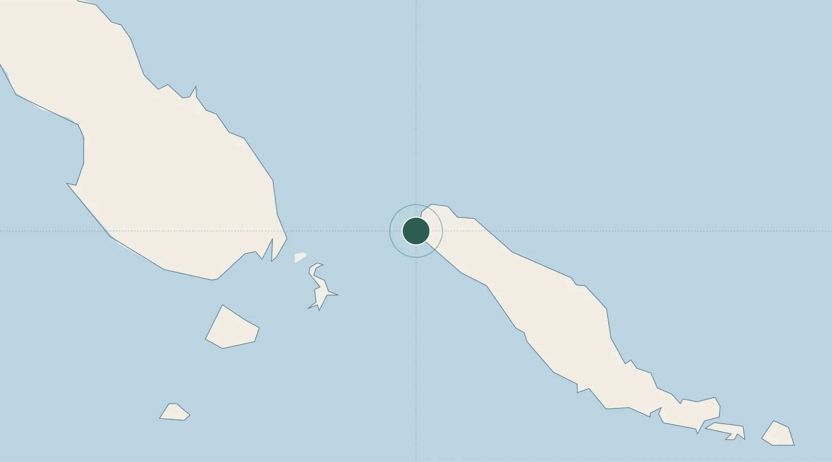
Location
Nearby Logistics Neighbours
Cities
- 1Shortland Harbour76 km
- 2Anewa Bay112 km
- 3Gizo162 km
- 4Ringgi Cove, Kolombangara175 km
- 5Noro, New Georgia190 km
Ports
- 1Kieta103 km
- 2Gizo Harbor162 km
- 3Ringgi Cove174 km
- 4Port Noro188 km
- 5Yandina405 km
Airports
- 1Choiseul Bay Airport4 km
- 2Ballalae Airport69 km
- 3Aropa Airport89 km
- 4Mono Airport125 km
- 5Kaghau Airport145 km
Trade Zones
DatabookThe Record of Consolidated Knowledge
Solomon Islands beyond logistics?