Transport Functions
Port
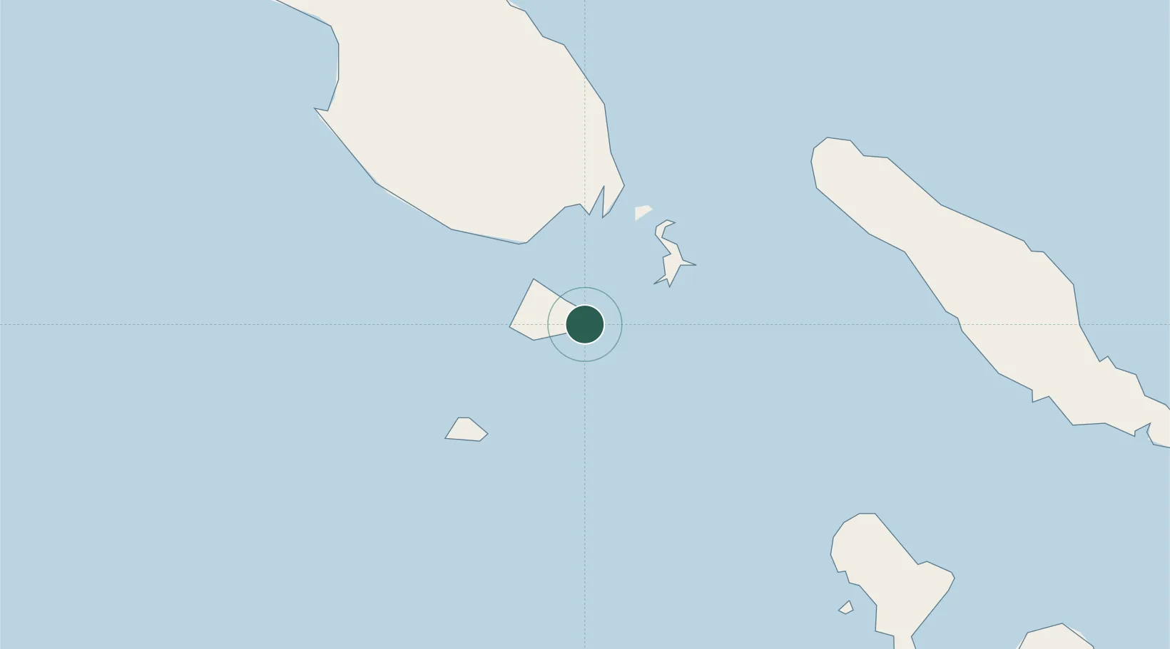
Location
Nearby Logistics Neighbours
Cities
- 1Choiseul Bay76 km
- 2Anewa Bay104 km
- 3Gizo157 km
- 4Ringgi Cove, Kolombangara179 km
- 5Noro, New Georgia195 km
Ports
- 1Kieta100 km
- 2Gizo Harbor157 km
- 3Ringgi Cove178 km
- 4Port Noro192 km
- 5Yandina431 km
Airports
- 1Ballalae Airport11 km
- 2Mono Airport50 km
- 3Choiseul Bay Airport72 km
- 4Aropa Airport88 km
- 5Nusatupe Airport158 km
Trade Zones
DatabookThe Record of Consolidated Knowledge
Solomon Islands beyond logistics?