Medium airport · Solomon Islands
Munda AirportAGGM
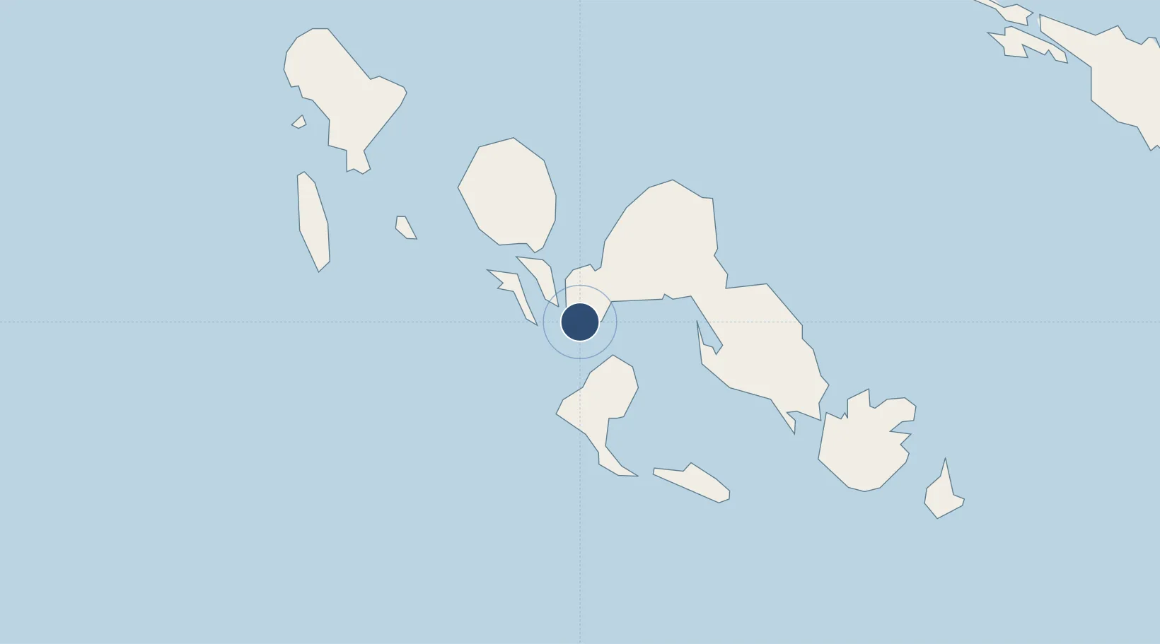
-8.3280°, 157.2630°
4,593 ft
Longest runway
1
Runways
10 ft
Elevation
Runway & Layout

Radio Frequencies
AFIS
118.1 MHz
INFO
RDO
118.1 MHz
Runways · 1
| Runway | Dimensions | Surface | True heading | Lit |
|---|---|---|---|---|
| 07/25 | 4,593 × 98ft | Asphalt | 079° | — |
Airport Specifications
IATA code
MUA
ICAO code
AGGM
Airport class
Medium airport
Scheduled service
Yes
Runway surface
Asphalt
Served city
Munda
Location
Nearby Logistics Neighbours
Airports
- 1Ramata Airport45 km
- 2Nusatupe Airport51 km
- 3Gatokae Aerodrome113 km
- 4Kaghau Airport116 km
- 5Suavanao Airport182 km
Cities
- 1Noro, New Georgia13 km
- 2Ringgi Cove, Kolombangara29 km
- 3Lever Harbour51 km
- 4Gizo52 km
- 5Choiseul Bay203 km
Ports
- 1Port Noro15 km
- 2Ringgi Cove30 km
- 3Gizo Harbor52 km
- 4Yandina231 km
- 5Kieta296 km
Trade Zones
DatabookThe Record of Consolidated Knowledge
Solomon Islands beyond logistics?