Small airport · Papua New Guinea
Tari AirportAYTA
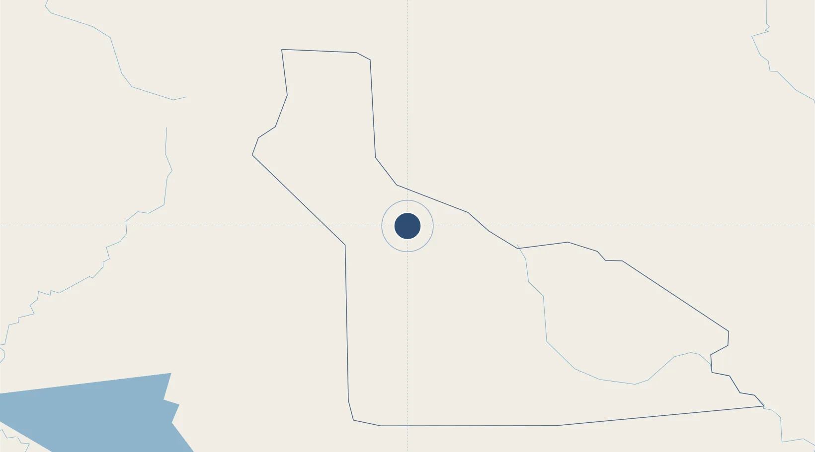
-5.8450°, 142.9480°
5,197 ft
Longest runway
1
Runways
5,500 ft
Elevation
Runway & Layout

Runways · 1
| Runway | Dimensions | Surface | True heading | Lit |
|---|---|---|---|---|
| 14/32 | 5,197 × —ft | Unknown | — | — |
Airport Specifications
IATA code
TIZ
ICAO code
AYTA
Airport class
Small airport
Scheduled service
Yes
Runway surface
Unknown
Served city
Tari
Location
Nearby Logistics Neighbours
Airports
- 1Moro Airport66 km
- 2Mendi Airport85 km
- 3Wapenamanda Airport107 km
- 4Mount Hagen Kagamuga Airport150 km
- 5Kiunga Airport187 km
Ports
- 1Wewak Harbor265 km
- 2Kumul308 km
- 3Madang325 km
- 4Daru359 km
- 5Vanimo405 km
Trade Zones
DatabookThe Record of Consolidated Knowledge
Papua New Guinea beyond logistics?