Medium airport · Papua New Guinea
Vanimo AirportAYVN
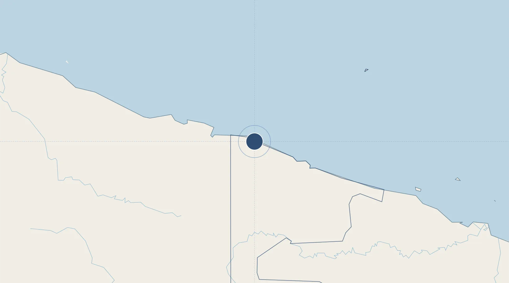
-2.6926°, 141.3028°
5,775 ft
Longest runway
1
Runways
10 ft
Elevation
Runway & Layout

Radio Frequencies
FSS
126.7 MHz
MADANG FIS
Navaids
VNO NDB-DME Vanimo 0.26 MHz
Runways · 1
| Runway | Dimensions | Surface | True heading | Lit |
|---|---|---|---|---|
| 12/30 | 5,775 × 85ft | Asphalt | 130° | ✓ |
Airport Specifications
IATA code
VAI
ICAO code
AYVN
Airport class
Medium airport
Scheduled service
Yes
Runway surface
Asphalt
Served city
Vanimo
Location
Nearby Logistics Neighbours
Airports
- 1Dortheys Hiyo Eluay International Airport88 km
- 2Hangmata Airstrip213 km
- 3Bordamban Airport215 km
- 4Dumpasik Airstrip215 km
- 5Yapil Airstrip221 km
Cities
- 1Jayapura, Irian Jaya67 km
- 2Demta136 km
- 3Yentchan269 km
- 4Wewak278 km
- 5Tambanum305 km
Ports
- 1Vanimo19 km
- 2Wewak Harbor276 km
- 3Amamapare536 km
- 4Madang574 km
- 5Merauke652 km
Trade Zones
DatabookThe Record of Consolidated Knowledge
Papua New Guinea beyond logistics?