Transport Functions
Port
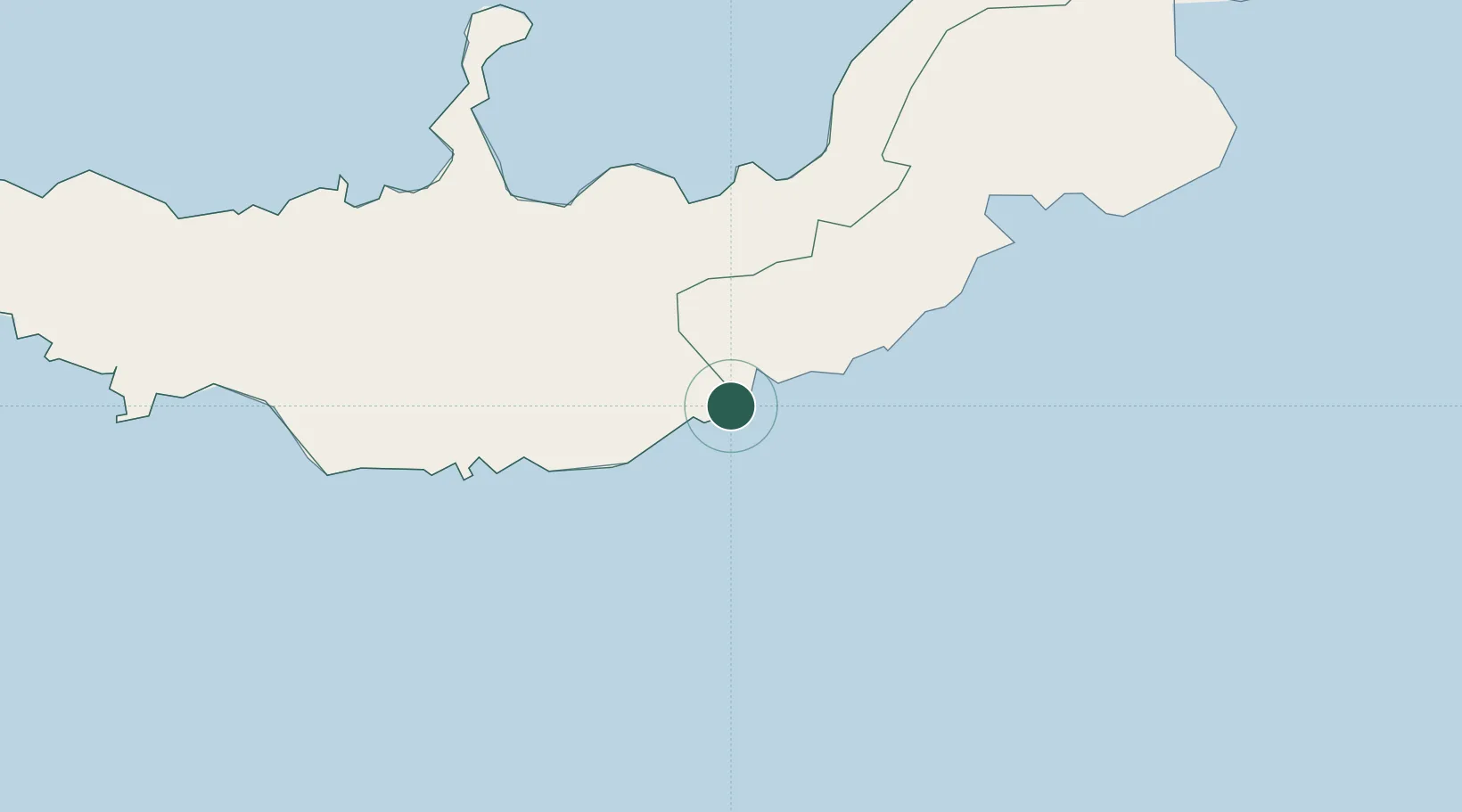
Hub Profile
Place type
Populated place
Region
West New Britain Province
Time zone
Pacific/Port_Moresby
Elevation
19 m
Location
Nearby Logistics Neighbours
Cities
- 1Kimbe92 km
- 2Ulamona136 km
- 3Pondo Harbour197 km
- 4Kaibola259 km
- 5Rabaul265 km
Ports
- 1Bialla94 km
- 2Kimbe112 km
- 3Rabaul266 km
- 4Kavieng Harbor393 km
- 5Oro Bay396 km
Airports
- 1Gasmata Island Airport49 km
- 2Hoskins Airport82 km
- 3Tokua Airport268 km
- 4Losuia Airport268 km
- 5Tufi Airport365 km
DatabookThe Record of Consolidated Knowledge
Papua New Guinea beyond logistics?