UN/LOCODE hub · Papua New Guinea
PGKIM
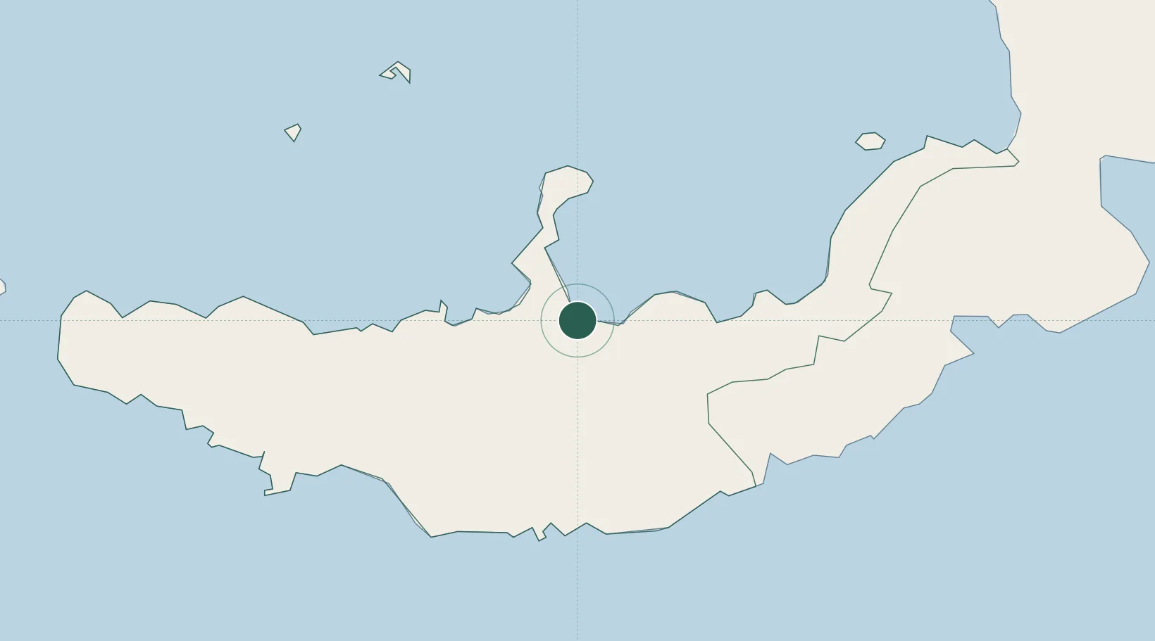
Kimbe
-5.5496°, 150.1474°
18,847
Population
1
Transport functions
1
Container terminals
Transport Functions
Port
Hub Profile
Place type
Regional capital
Region
West New Britain Province
Population
18,847
Time zone
Pacific/Port_Moresby
Elevation
27 m
Logistics facilities
2
Container terminals
1
Location
Nearby Logistics Neighbours
Cities
- 1Amio92 km
- 2Ulamona137 km
- 3Pondo Harbour196 km
- 4Rabaul269 km
- 5Tami Island283 km
Ports
- 1Bialla97 km
- 2Rabaul271 km
- 3Kavieng Harbor338 km
- 4Lae372 km
- 5Oro Bay414 km
Airports
- 1Hoskins Airport30 km
- 2Gasmata Island Airport83 km
- 3Tokua Airport282 km
- 4Kavieng Airport338 km
- 5Losuia Airport345 km
Trade Zones
DatabookThe Record of Consolidated Knowledge
Papua New Guinea beyond logistics?