Seaport · Panama
AlmirantePAPAM
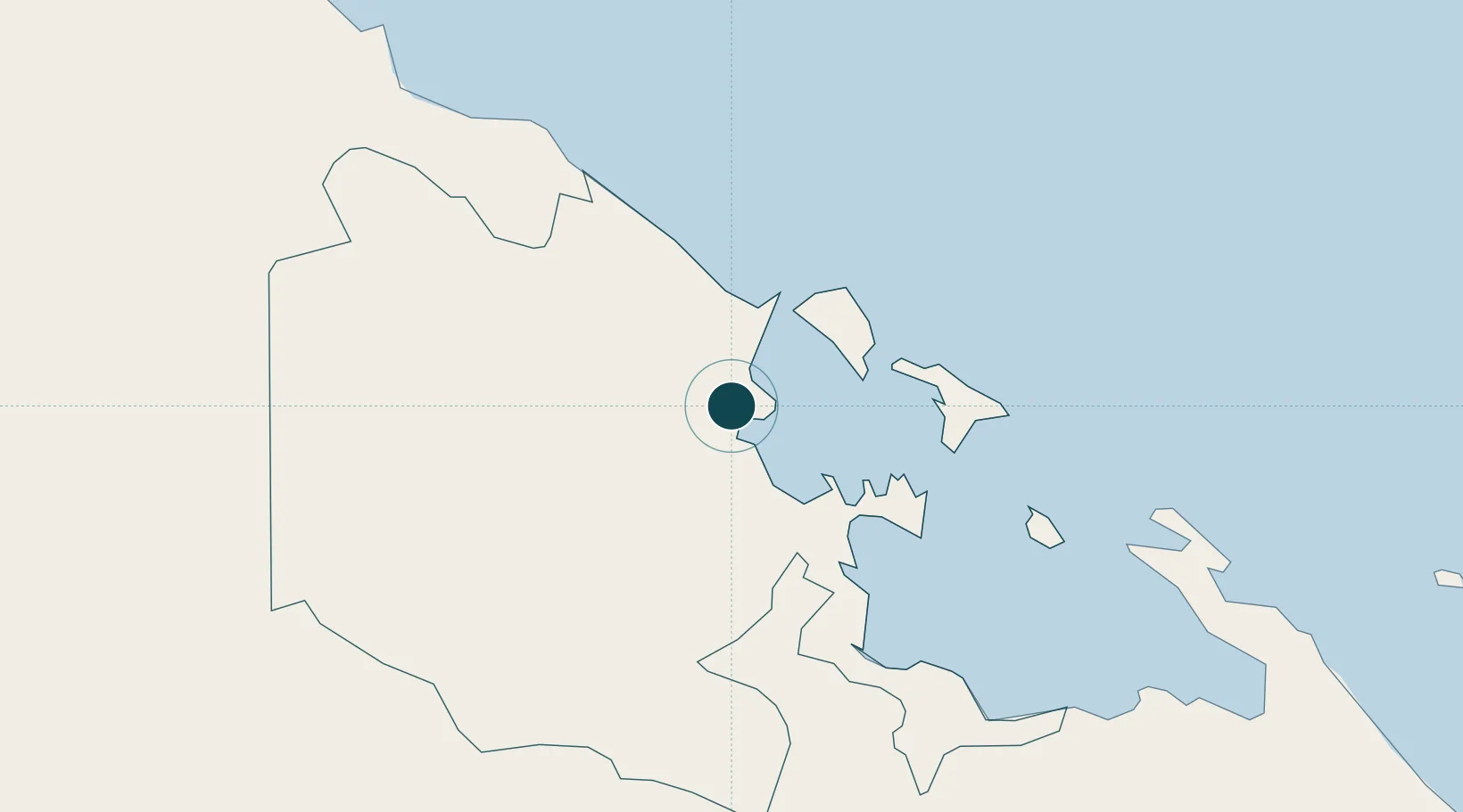
9.3000°, -82.4000°
9.4 m
Channel depth
1
Container terminals
34.6
Port liner connectivity
Channel & Berth Profile
Pilotage, Tugs & Services
Pilotage compulsoryYES
Pilotage availableYES
Pilotage advisableYES
Tug assistanceNO
Salvage tugsNO
Potable waterYES
Diesel bunkersNO
MedicalYES
Facilities & Capabilities
ContainerYES
Ro-RoYES
Liquid bulk—
Dry bulk—
Oil terminal—
Break bulkYES
Dry dockNO
RepairsNO
BunkeringNO
Rail linkYES
Dangerous cargo—
ISPS securityYES
Harbour Specifications
Harbour size
Very Small
Harbour type
Coastal (Natural)
Shelter
Good
Water body
Caribbean Sea; North Atlantic Ocean
Tidal range
0.3 m
Overhead limit
No
Pilotage
Yes
Liner Connectivity
34.6
PLSCI
Port Liner Shipping Connectivity Index for Almirante, as published by UNCTAD for the latest available quarter. Higher values indicate stronger scheduled liner-shipping integration.
Shown relative to the highest per-port PLSCI in the dataset (1,657.9).
Location
Container Terminals · 1
PUERTO ALMIRANTE (AMP)
PAM AUTORIDAD MARITIMA DE PANAMA
Nearby Logistics Neighbours
Ports
- 1Bocas Del Toro19 km
- 2Chiriqui Grande50 km
- 3Puerto Limon102 km
- 4Pedregal106 km
- 5Puerto Moin108 km
Cities
- 1Bocas del Toro19 km
- 2Sixaola/Talamanca34 km
- 3Chiriquí Grande50 km
- 4Puerto Viejo56 km
- 5Gualaca86 km
Airports
Trade Zones
DatabookThe Record of Consolidated Knowledge
Panama beyond logistics?