Medium airport · Costa Rica

Limón International AirportMRLM
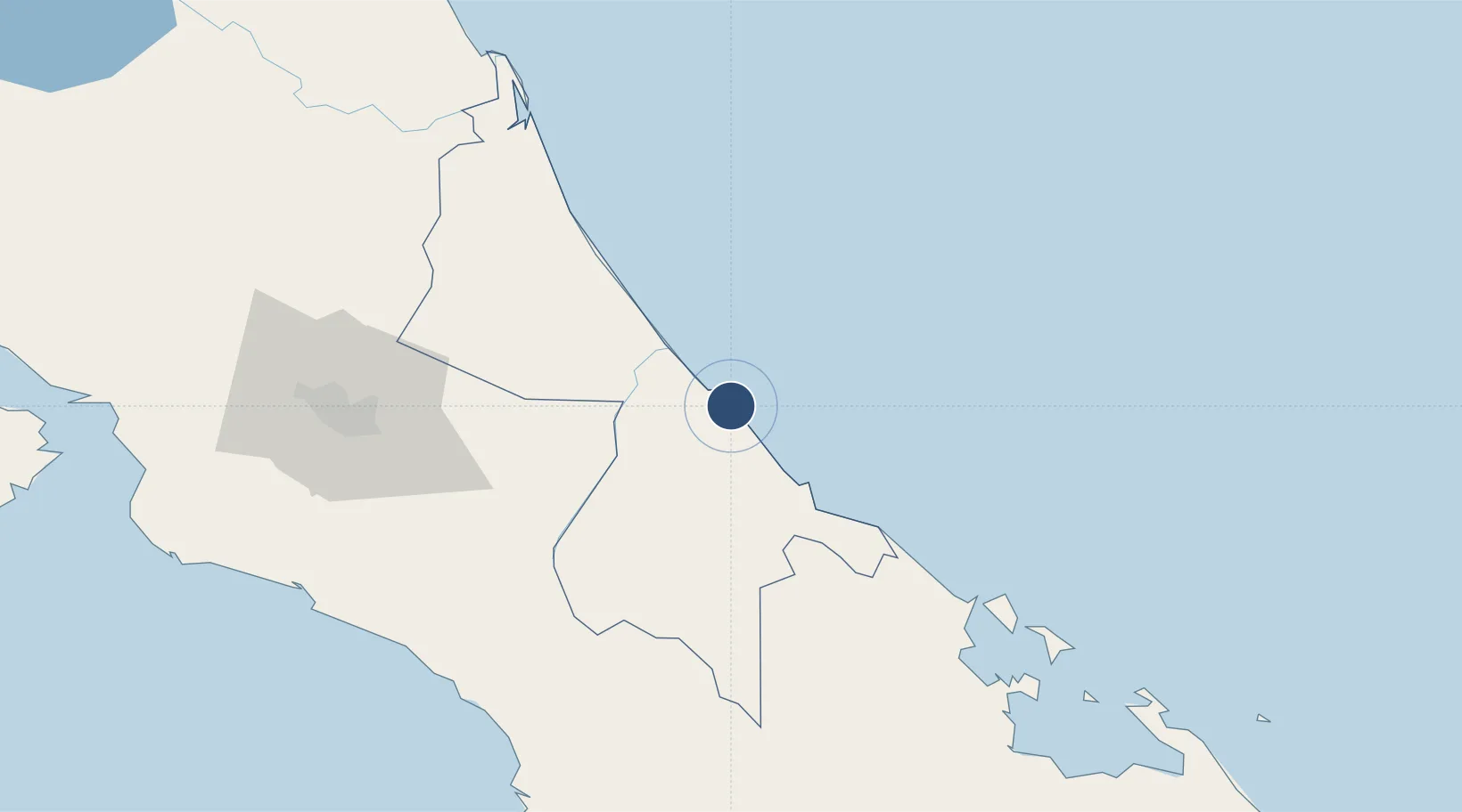
9.9580°, -83.0220°
5,906 ft
Longest runway
1
Runways
7 ft
Elevation

Runway & Layout

Limón International Airport runway & taxiway layout
Runway & taxiway layout — OpenStreetMap (ODbL) / OurAirports

Radio Frequencies

INFO
118.8 MHz
FIS
RDO
126.8 MHz
COCO RDO
OurAirports

Navaids

LIO VOR-DME Limon 116.30 MHz
OurAirports

Runways · 1

RunwayDimensions SurfaceTrue headingLit
14/32 5,906 × 98ft Asphalt 146°
OurAirports

Airport Specifications

IATA code
LIO
OurAirports
ICAO code
MRLM
OurAirports
Airport class
Medium airport
OurAirports
Scheduled service
Yes
OurAirports
Runway surface
Asphalt
OurAirports
Served city
Limón
OurAirports

Location

Location of MRLM
Natural Earth 10m (public domain) · Limón · MRLM · 9.96, -83.02GoogleOSMYandex

Nearby Logistics Neighbours

Airports
  1. 1Changuinola Captain Manuel Niño International Airport79 km
  2. 2Aerotortuguero Airport82 km
  3. 3Guapiles Airport90 km
  4. 4Buenos Aires Airport95 km
  5. 5Bocas del Toro "Isla Colón" International Airport109 km
Nearest neighbours — logibook spatial index (haversine) over the source coordinates
Cities
  1. 1Puerto Limón9 km
  2. 2Moín9 km
  3. 3Aguas Zarcas14 km
  4. 4Limon15 km
  5. 5Búffalo17 km
Nearest neighbours — logibook spatial index (haversine) over the source coordinates
Ports
  1. 1Puerto Limon3 km
  2. 2Puerto Moin8 km
  3. 3Almirante100 km
  4. 4Bocas Del Toro111 km
  5. 5Puerto Quepos138 km
Nearest neighbours — logibook spatial index (haversine) over the source coordinates
Trade Zones
  1. 1Caribe Industrial Park & Free Zone10 km
  2. 2FreeHold Free Zone52 km
  3. 3Lima Free Zone and Business Park102 km
  4. 4Zeta Free Zone Catargo103 km
  5. 5El Roble Industrial Logistics Zone (RILZ)115 km
Nearest neighbours — logibook spatial index (haversine) over the source coordinates
DatabookThe Record of Consolidated Knowledge
Costa Rica beyond logistics?
Browse databook

All Sources

AirportsOurAirports
Public domain
Portsthe NGA World Port Index
Public domain (US gov)
LocationsUN/LOCODE
UN/LOCODE — free
Trade Zonesthe World Bank SEZ database
CC BY 4.0
Trade ZonesOpen Zone Map
CC BY
InfrastructureOpenStreetMap
ODbL 1.0
← Costa Rica airports