Medium airport · Panama

Bocas del Toro "Isla Colón" International AirportMPBO
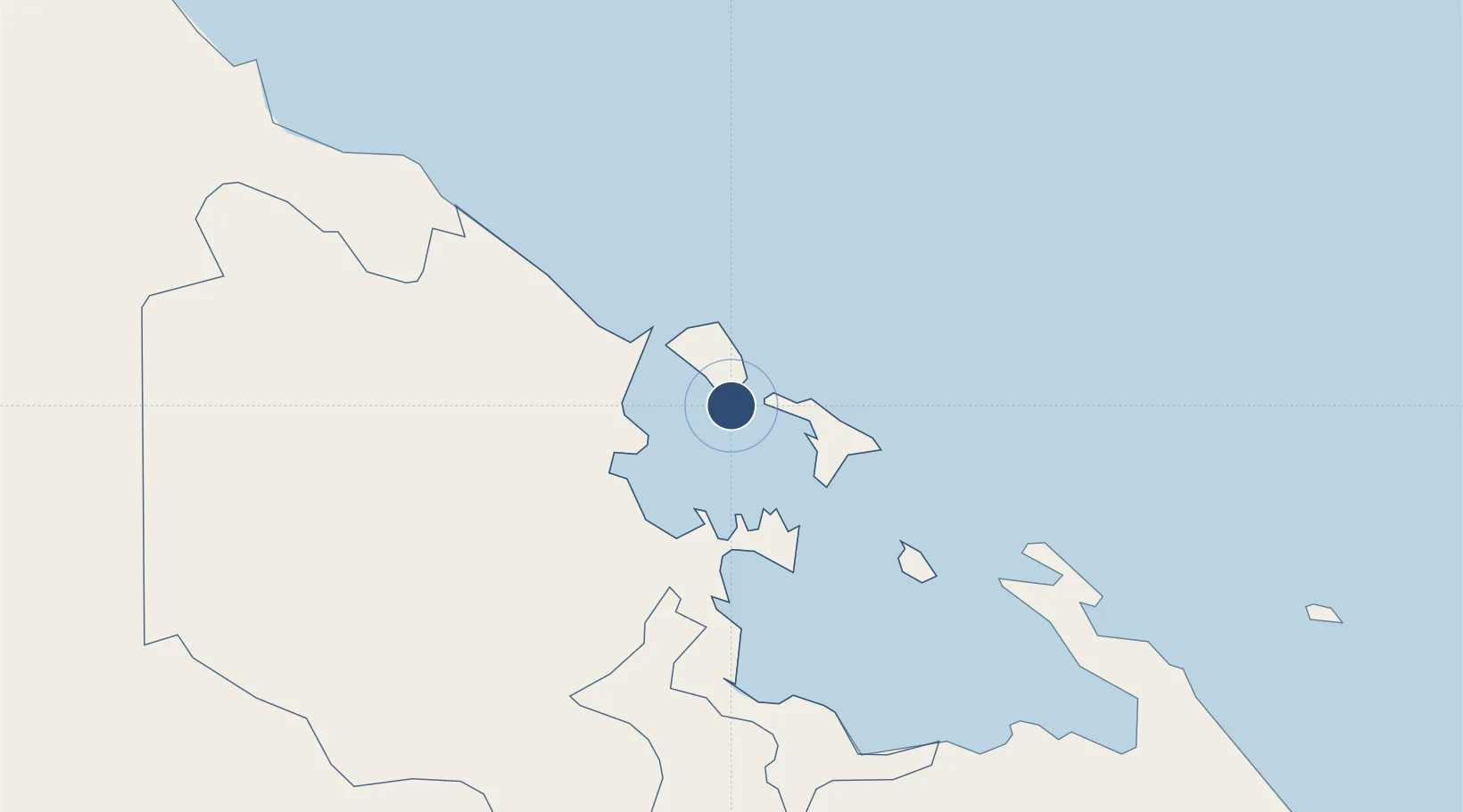
9.3408°, -82.2508°
4,921 ft
Longest runway
1
Runways
10 ft
Elevation

Runway & Layout

Bocas del Toro "Isla Colón" International Airport runway & taxiway layout
Runway & taxiway layout — OpenStreetMap (ODbL) / OurAirports

Radio Frequencies

ACC
133 MHz
PANAMA CON
FSS
135.2 MHz
PANAMA RDO
RDO
123.7 MHz
OurAirports

Navaids

BDT VOR-DME Bocas Del Toro 114.90 MHz
OurAirports

Runways · 1

RunwayDimensions SurfaceTrue headingLit
08/26 4,921 × 85ft Asphalt 087°
OurAirports

Airport Specifications

IATA code
BOC
OurAirports
ICAO code
MPBO
OurAirports
Airport class
Medium airport
OurAirports
Scheduled service
Yes
OurAirports
Runway surface
Asphalt
OurAirports
Served city
Isla Colón
OurAirports

Location

Location of MPBO
Natural Earth 10m (public domain) · Bocas del Toro · MPBO · 9.34, -82.25GoogleOSMYandex

Nearby Logistics Neighbours

Airports
  1. 1Changuinola Captain Manuel Niño International Airport32 km
  2. 2Enrique Malek International Airport108 km
  3. 3Limón International Airport109 km
  4. 4Coto 47 Airport114 km
  5. 5Buenos Aires Airport120 km
Nearest neighbours — logibook spatial index (haversine) over the source coordinates
Cities
  1. 1Bocas del Toro2 km
  2. 2Almirante16 km
  3. 3Sixaola/Talamanca45 km
  4. 4Chiriquí Grande46 km
  5. 5Puerto Viejo66 km
Nearest neighbours — logibook spatial index (haversine) over the source coordinates
Ports
  1. 1Bocas Del Toro2 km
  2. 2Almirante17 km
  3. 3Chiriqui Grande46 km
  4. 4Puerto Limon110 km
  5. 5Pedregal112 km
Nearest neighbours — logibook spatial index (haversine) over the source coordinates
Trade Zones
  1. 1Caribe Industrial Park & Free Zone118 km
  2. 2Baru Free Zone (Tourist and Multimodal Logistics Support Zone)136 km
  3. 3FreeHold Free Zone158 km
  4. 4Zeta Free Zone Catargo195 km
  5. 5Lima Free Zone and Business Park196 km
Nearest neighbours — logibook spatial index (haversine) over the source coordinates
DatabookThe Record of Consolidated Knowledge
Panama beyond logistics?
Browse databook

All Sources

AirportsOurAirports
Public domain
Portsthe NGA World Port Index
Public domain (US gov)
LocationsUN/LOCODE
UN/LOCODE — free
Trade Zonesthe World Bank SEZ database
CC BY 4.0
Trade ZonesOpen Zone Map
CC BY
InfrastructureOpenStreetMap
ODbL 1.0
← Panama airports