Transport Functions
Port
Road
Airport
Hub Profile
Place type
Regional capital
Region
Bocas del Toro Province
Population
5,380
Time zone
America/Panama
Elevation
3 m
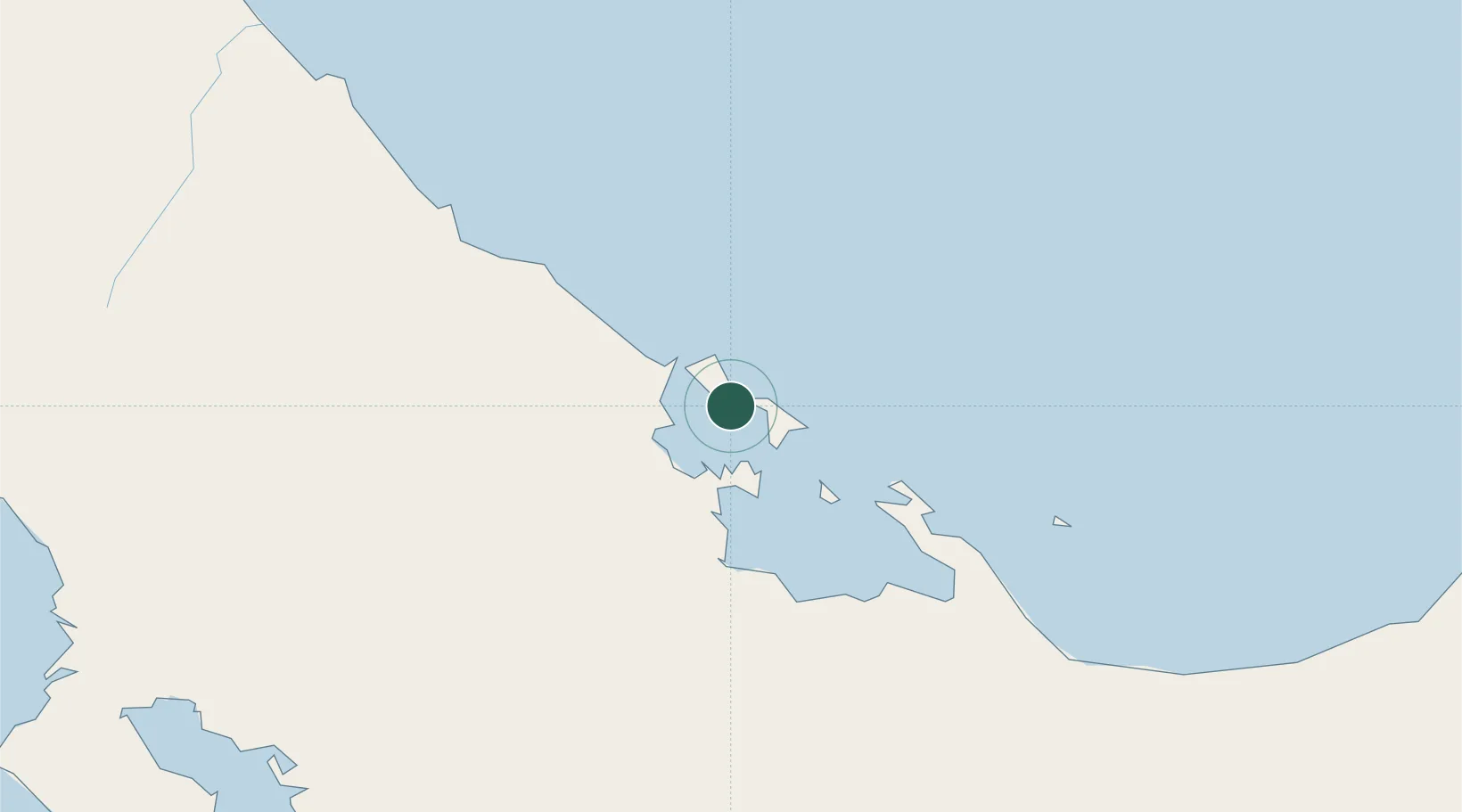
Location
Nearby Logistics Neighbours
Cities
- 1Almirante18 km
- 2Chiriquí Grande45 km
- 3Sixaola/Talamanca47 km
- 4Puerto Viejo68 km
- 5Gualaca89 km
Ports
- 1Almirante19 km
- 2Chiriqui Grande45 km
- 3Pedregal112 km
- 4Puerto Limon112 km
- 5Puerto Moin119 km
Airports
Trade Zones
DatabookThe Record of Consolidated Knowledge
Panama beyond logistics?