Free Trade Zone · Costa Rica

Caribe Industrial Park & Free Zone Active
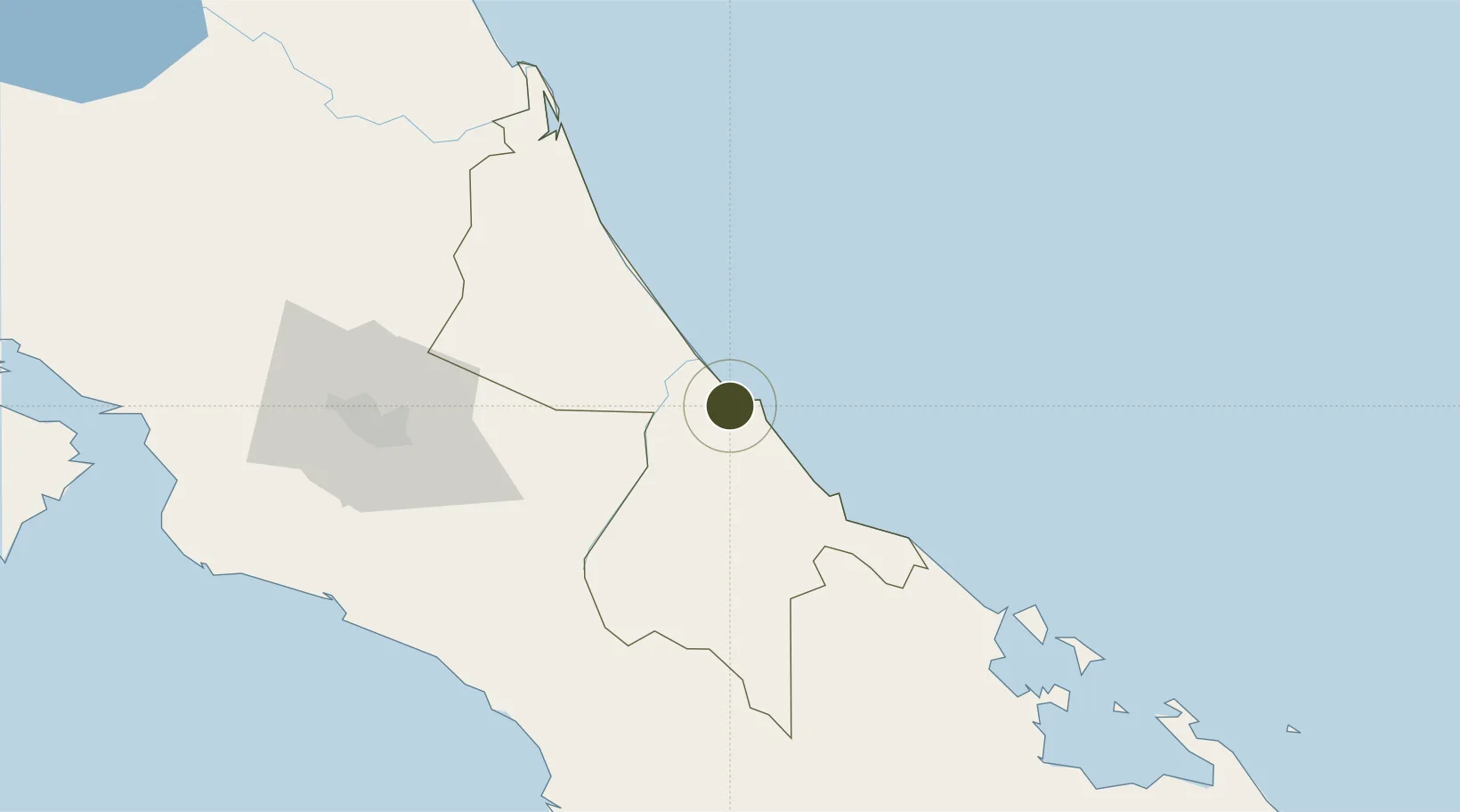
9.9881°, -83.1089°
30 ha
Zone area
3.1 km
Nearest port
10.1 km
Nearest airport

Gateway access

Nearest neighbours — logibook spatial index (haversine) over the source coordinates

Zone profile

Zone type
Free Trade Zone
Open Zone Map
Region
Limón
Open Zone Map
Status
Active
Open Zone Map
Management
Private
Open Zone Map
Operator
Estrada & Areas Developers Business Group
Open Zone Map
Legal framework
Free Zone Regime Act No 7210, Act No 8794 and its Bylaws
Open Zone Map

Location

Location of ozm-1698
Natural Earth 10m (public domain) · Limón · ozm-1698 · 9.99, -83.11GoogleOSMYandex

Nearby Logistics Neighbours

Ports
  1. 1Puerto Moin3 km
  2. 2Puerto Limon10 km
  3. 3Almirante109 km
  4. 4Bocas Del Toro121 km
  5. 5Puerto Quepos131 km
Nearest neighbours — logibook spatial index (haversine) over the source coordinates
Airports
  1. 1Limón International Airport10 km
  2. 2Aerotortuguero Airport73 km
  3. 3Guapiles Airport80 km
  4. 4Changuinola Captain Manuel Niño International Airport88 km
  5. 5Buenos Aires Airport95 km
Nearest neighbours — logibook spatial index (haversine) over the source coordinates
Cities
  1. 1Puerto Limón1 km
  2. 2Moín2 km
  3. 3Limon5 km
  4. 4Búffalo7 km
  5. 5Aguas Zarcas10 km
Nearest neighbours — logibook spatial index (haversine) over the source coordinates
Trade Zones
  1. 1FreeHold Free Zone42 km
  2. 2Lima Free Zone and Business Park93 km
  3. 3Zeta Free Zone Catargo94 km
  4. 4El Roble Industrial Logistics Zone (RILZ)105 km
  5. 5Parque Empresarial Del Este106 km
Nearest neighbours — logibook spatial index (haversine) over the source coordinates
DatabookThe Record of Consolidated Knowledge
Costa Rica beyond logistics?
Browse databook

All Sources

Trade ZonesOpen Zone Map
CC BY
Portsthe NGA World Port Index
Public domain (US gov)
AirportsOurAirports
Public domain
LocationsUN/LOCODE
UN/LOCODE — free
← Costa Rica trade zones