UN/LOCODE hub · Panama
PAPAM
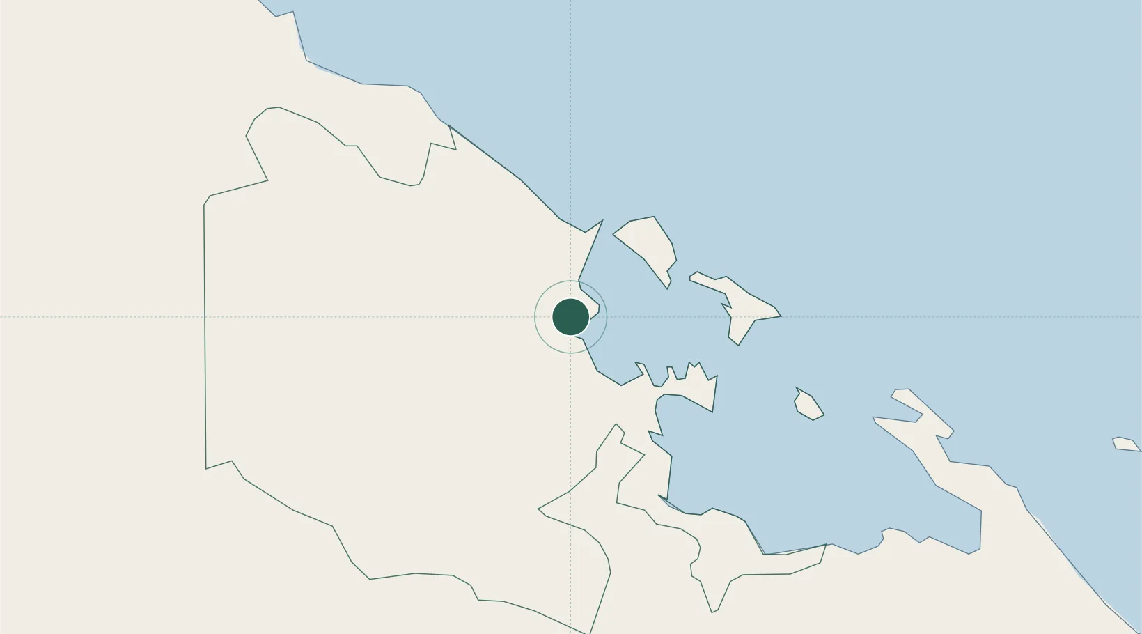
Almirante
9.2881°, -82.3908°
8,744
Population
1
Transport functions
1
Container terminals
Transport Functions
Port
Hub Profile
Place type
Populated place
Region
Bocas del Toro Province
Population
8,744
Time zone
America/Panama
Elevation
9 m
Logistics facilities
1
Container terminals
1
Location
Nearby Logistics Neighbours
Cities
- 1Bocas del Toro18 km
- 2Sixaola/Talamanca36 km
- 3Chiriquí Grande48 km
- 4Puerto Viejo58 km
- 5Gualaca85 km
Ports
- 1Bocas Del Toro18 km
- 2Chiriqui Grande48 km
- 3Puerto Limon103 km
- 4Pedregal104 km
- 5Puerto Moin110 km
Airports
Trade Zones
DatabookThe Record of Consolidated Knowledge
Panama beyond logistics?