Channel & Berth Profile
Pilotage, Tugs & Services
Pilotage compulsoryNO
Pilotage availableYES
Pilotage advisableYES
Local assistanceYES
Tug assistanceNO
Salvage tugsNO
Potable waterYES
MedicalYES
Facilities & Capabilities
Container—
Ro-Ro—
Liquid bulk—
Dry bulk—
Oil terminal—
Break bulk—
Dry dock—
Repairs—
BunkeringYES
Rail linkYES
Dangerous cargo—
ISPS security—
Harbour Specifications
Harbour size
Small
Harbour type
River (Natural)
Shelter
Good
Water body
North Pacific Ocean
Tidal range
3 m
Pilotage
No
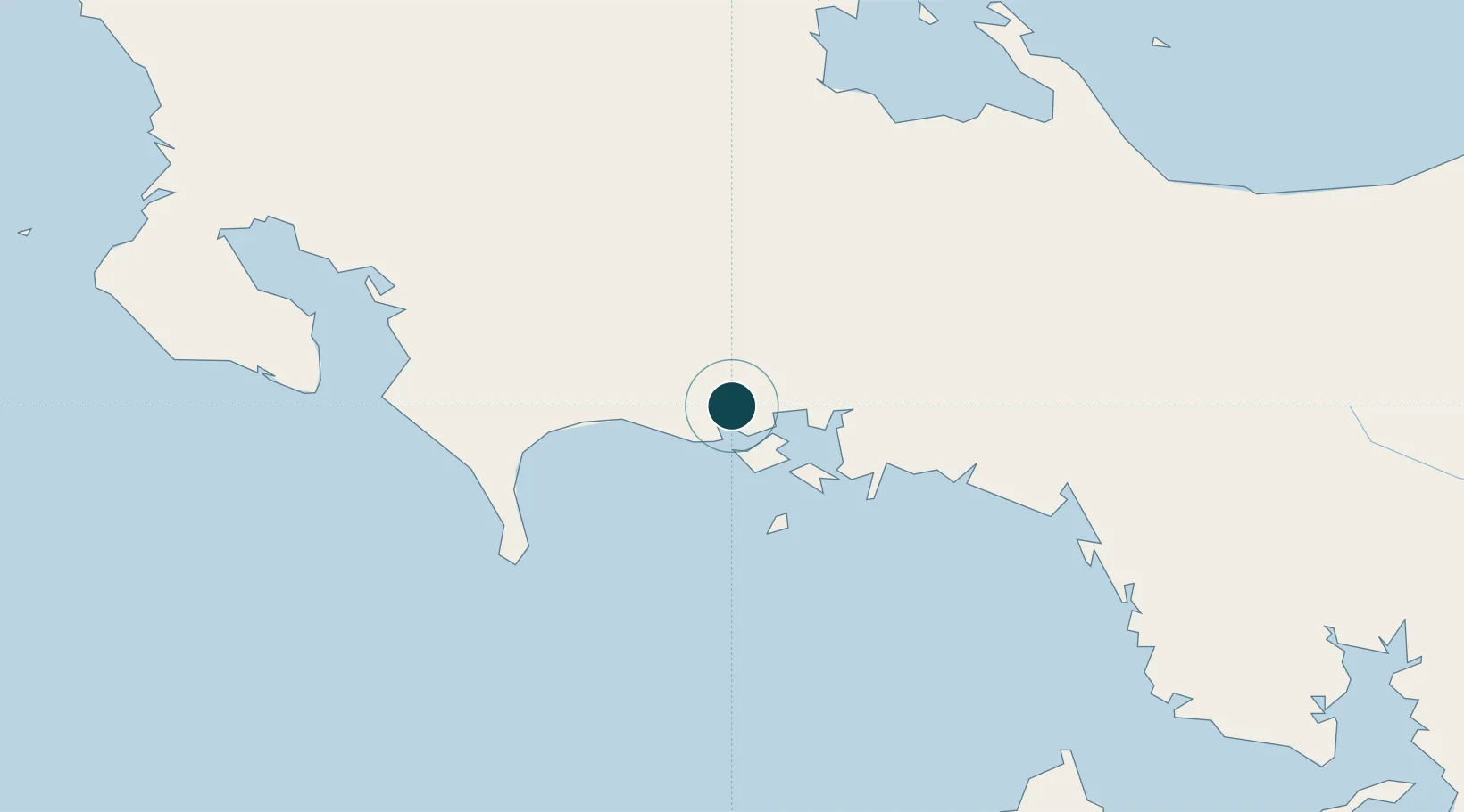
Location
Nearby Logistics Neighbours
Ports
- 1Puerto Armuelles47 km
- 2Charco Azul50 km
- 3Chiriqui Grande75 km
- 4Golfito87 km
- 5Almirante106 km
Cities
- 1Bugaba25 km
- 2Gualaca25 km
- 3Boca Chica28 km
- 4Progreso45 km
- 5Laurel58 km
Airports
- 1Enrique Malek International Airport4 km
- 2Coto 47 Airport65 km
- 3Golfito Airport89 km
- 4Puerto Jimenez Airport98 km
- 5Pixvae Airstrip111 km
Trade Zones
DatabookThe Record of Consolidated Knowledge
Panama beyond logistics?