Transport Functions
Port
Road
Hub Profile
Place type
Provincial seat
Region
Bocas del Toro Province
Population
1,525
Time zone
America/Panama
Elevation
2 m
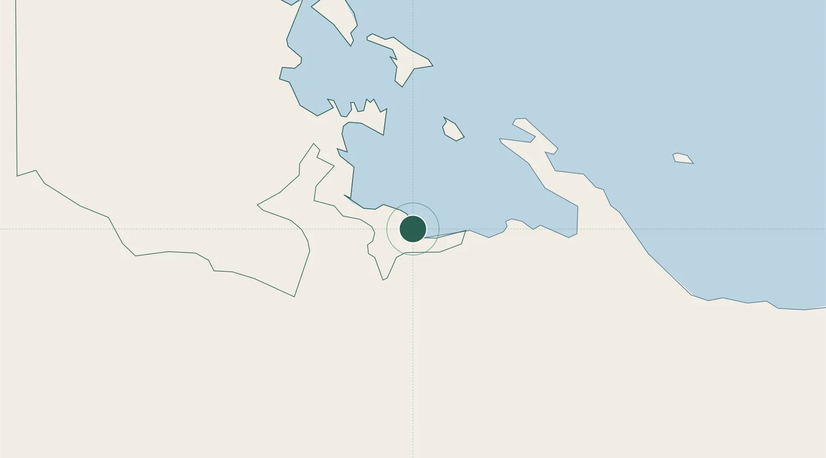
Location
Nearby Logistics Neighbours
Cities
- 1Bocas del Toro45 km
- 2Almirante48 km
- 3Gualaca51 km
- 4Pedregal74 km
- 5Bugaba76 km
Ports
- 1Bocas Del Toro45 km
- 2Almirante50 km
- 3Pedregal75 km
- 4Puerto Armuelles111 km
- 5Charco Azul116 km
Airports
Trade Zones
DatabookThe Record of Consolidated Knowledge
Panama beyond logistics?