Medium airport · Panama

Enrique Malek International AirportMPDA
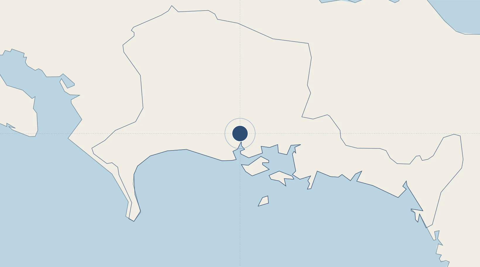
8.3890°, -82.4364°
8,530 ft
Longest runway
1
Runways
89 ft
Elevation

Runway & Layout

Enrique Malek International Airport runway & taxiway layout
Runway & taxiway layout — OpenStreetMap (ODbL) / OurAirports

Radio Frequencies

TWR
118.7 MHz
MALEK TWR
GND
121.7 MHz
APP
119.7 MHz
PANAMA APP
ACC
133 MHz
PANAMA CON
OurAirports

Navaids

DAV VOR-DME David 114.30 MHz
DAV NDB David 350 kHz
OurAirports

Runways · 1

RunwayDimensions SurfaceTrue headingLit
04/22 8,530 × 148ft Asphalt 038°
OurAirports

Airport Specifications

IATA code
DAV
OurAirports
ICAO code
MPDA
OurAirports
Airport class
Medium airport
OurAirports
Scheduled service
Yes
OurAirports
Runway surface
Asphalt
OurAirports
Served city
David
OurAirports

Location

Location of MPDA
Natural Earth 10m (public domain) · Chiriquí · MPDA · 8.39, -82.44GoogleOSMYandex

Nearby Logistics Neighbours

Airports
  1. 1Coto 47 Airport63 km
  2. 2Golfito Airport87 km
  3. 3Puerto Jimenez Airport96 km
  4. 4Bocas del Toro "Isla Colón" International Airport108 km
  5. 5Pixvae Airstrip113 km
Nearest neighbours — logibook spatial index (haversine) over the source coordinates
Cities
  1. 1Pedregal3 km
  2. 2Gualaca22 km
  3. 3Bugaba22 km
  4. 4Boca Chica31 km
  5. 5Progreso44 km
Nearest neighbours — logibook spatial index (haversine) over the source coordinates
Ports
  1. 1Pedregal4 km
  2. 2Puerto Armuelles48 km
  3. 3Charco Azul51 km
  4. 4Chiriqui Grande72 km
  5. 5Golfito85 km
Nearest neighbours — logibook spatial index (haversine) over the source coordinates
Trade Zones
  1. 1Baru Free Zone (Tourist and Multimodal Logistics Support Zone)48 km
  2. 2Caribe Industrial Park & Free Zone193 km
  3. 3Zona Franca Cobol Due222 km
  4. 4FreeHold Free Zone222 km
  5. 5Zeta Free Zone Catargo233 km
Nearest neighbours — logibook spatial index (haversine) over the source coordinates
DatabookThe Record of Consolidated Knowledge
Panama beyond logistics?
Browse databook

All Sources

AirportsOurAirports
Public domain
Portsthe NGA World Port Index
Public domain (US gov)
LocationsUN/LOCODE
UN/LOCODE — free
Trade Zonesthe World Bank SEZ database
CC BY 4.0
Trade ZonesOpen Zone Map
CC BY
InfrastructureOpenStreetMap
ODbL 1.0
← Panama airports