Channel & Berth Profile
Pilotage, Tugs & Services
Pilotage compulsoryYES
Pilotage availableYES
Local assistanceYES
Tug assistanceYES
Shore powerNO
Potable waterYES
Diesel bunkersNO
MedicalYES
Garbage disposalNO
Facilities & Capabilities
ContainerYES
Ro-Ro—
Liquid bulkYES
Dry bulkYES
Oil terminalYES
Break bulkYES
Dry dock—
Repairs—
BunkeringNO
Rail linkYES
Dangerous cargo—
ISPS securityYES
Harbour Specifications
Harbour size
Very Small
Harbour type
Open Roadstead
Shelter
Fair
Water body
Caribbean Sea; North Atlantic Ocean
Tidal range
0.6 m
Overhead limit
Yes
Pilotage
Yes
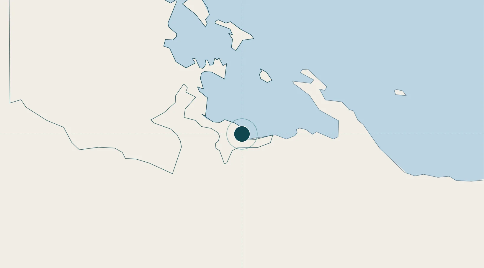
Location
Nearby Logistics Neighbours
Ports
- 1Bocas Del Toro45 km
- 2Almirante50 km
- 3Pedregal75 km
- 4Puerto Armuelles111 km
- 5Charco Azul116 km
Cities
- 1Bocas del Toro45 km
- 2Almirante48 km
- 3Gualaca51 km
- 4Pedregal74 km
- 5Bugaba76 km
Airports
Trade Zones
DatabookThe Record of Consolidated Knowledge
Panama beyond logistics?