Free Trade Zone · Panama

Baru Free Zone (Tourist and Multimodal Logistics Support Zone) Active
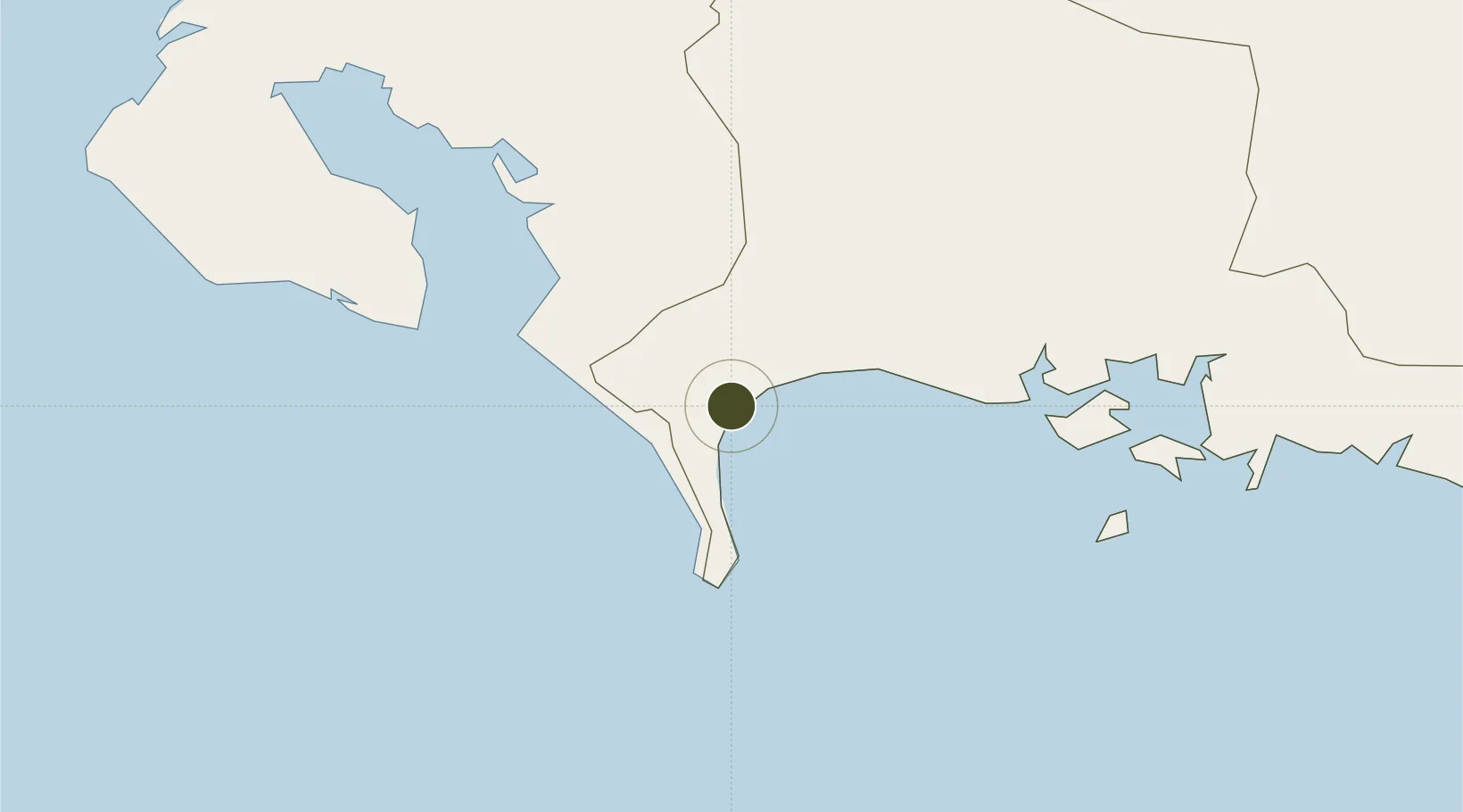
8.2724°, -82.8592°
58,800 ha
Zone area
1.2 km
Nearest port
38.5 km
Nearest airport

Gateway access

Nearest neighbours — logibook spatial index (haversine) over the source coordinates

Zone profile

Zone type
Free Trade Zone
Open Zone Map
Region
Chiriquí
Open Zone Map
Status
Active
Open Zone Map
Management
Public
Open Zone Map
Operator
Barú Tourist Free Zone and Multimodal Logistics Support
Open Zone Map
Legal framework
Law No. 19 of 2001, Law 32 of 2011* Law 120 of 2013, and Law No. 8 of April 4, 2016
Open Zone Map

Location

Location of ozm-3073
Natural Earth 10m (public domain) · Chiriquí · ozm-3073 · 8.27, -82.86GoogleOSMYandex

Nearby Logistics Neighbours

Ports
  1. 1Puerto Armuelles1 km
  2. 2Charco Azul6 km
  3. 3Pedregal48 km
  4. 4Golfito53 km
  5. 5Chiriqui Grande111 km
Nearest neighbours — logibook spatial index (haversine) over the source coordinates
Airports
  1. 1Coto 47 Airport39 km
  2. 2Enrique Malek International Airport48 km
  3. 3Golfito Airport55 km
  4. 4Puerto Jimenez Airport57 km
  5. 5Palmar Sur Airport101 km
Nearest neighbours — logibook spatial index (haversine) over the source coordinates
Cities
  1. 1Progreso20 km
  2. 2Laurel21 km
  3. 3Bugaba36 km
  4. 4Neily43 km
  5. 5Pedregal48 km
Nearest neighbours — logibook spatial index (haversine) over the source coordinates
Trade Zones
  1. 1Caribe Industrial Park & Free Zone193 km
  2. 2Zeta Free Zone Catargo213 km
  3. 3Lima Free Zone and Business Park214 km
  4. 4FreeHold Free Zone214 km
  5. 5El Roble Industrial Logistics Zone (RILZ)229 km
Nearest neighbours — logibook spatial index (haversine) over the source coordinates
DatabookThe Record of Consolidated Knowledge
Panama beyond logistics?
Browse databook

All Sources

Trade ZonesOpen Zone Map
CC BY
Portsthe NGA World Port Index
Public domain (US gov)
AirportsOurAirports
Public domain
LocationsUN/LOCODE
UN/LOCODE — free
← Panama trade zones